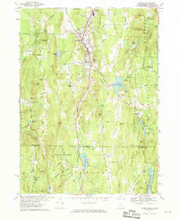
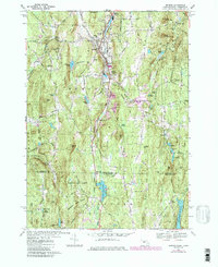
1967 Map of Monson
USGS Topo · Published 1969About this map
The Central Vermont railroad corridor defines the industrial and transit spine of this landscape, following the valley of Chicopee Brook through the primary settlements of North Monson, Monson, and South Monson. This 1960s survey documents a region defined by its diverse topographic relief, including Peaked Mtn and Mount Hitchcock, and the extensive woodland of Brimfield State Forest and Shenipsit State Forest. Water management is a significant feature of the terrain, with the newly established Conant Brook Reservoir and the Staffordville Reservoir near the Massachusetts-Connecticut state line. Genealogists will find notable value in several family and community burial grounds, including Hillside Cem, Bethany Cem, and the more isolated Butler Cem, while the location of the High Sch and Hillside Sch mark the community centers of the era.
Find a feature on this map
113 named features on this map. Tap any name to fly to it.
Don’t see what you’re looking for? This feature index may not catch every label — zoom into the map to look around manually.
Map Details
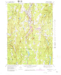
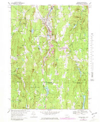
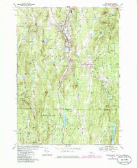
Editions of this 1967 Monson Map
5 editions found
Other maps of this area

1887 · Brookfield
USGS Topo · 1:62,500

1887 · Palmer
USGS Topo · 1:62,500

1889 · Palmer
USGS Topo · 1:62,500

1890 · Brookfield
USGS Topo · 1:62,500

1892 · Woodstock
USGS Topo · 1:62,500

1892 · Tolland
USGS Topo · 1:62,500

1893 · Palmer
USGS Topo · 1:62,500

1893 · Brookfield
USGS Topo · 1:62,500

1908 · Ware
USGS Topo · 1:125,000

1915 · Brookfield
USGS Topo · 1:62,500