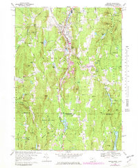
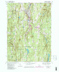
1967 Map of Monson
USGS Topo · Published 1981About this map
Monson is the focal point of this industrial and rural landscape, positioned where the Central Vermont railroad follows the valley of Chicopee Brook. The map reveals a community organized around its hills and waterpower, with a series of distinct residential and commercial clusters like North Monson, South Monson, and the small settlement at Colton Hollow. Genealogists will find a wealth of local history in the distribution of burial grounds, including the Hillside Cem, Bethany Cem, and the more secluded Butler Cem near Boulder Hill Pond.
Find a feature on this map
117 named features on this map. Tap any name to fly to it.
Don’t see what you’re looking for? This feature index may not catch every label — zoom into the map to look around manually.
Map Details
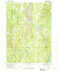
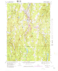
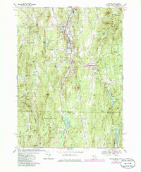
Editions of this 1967 Monson Map
5 editions found
Other maps of this area

1887 · Brookfield
USGS Topo · 1:62,500

1887 · Palmer
USGS Topo · 1:62,500

1889 · Palmer
USGS Topo · 1:62,500

1890 · Brookfield
USGS Topo · 1:62,500

1892 · Woodstock
USGS Topo · 1:62,500

1892 · Tolland
USGS Topo · 1:62,500

1893 · Palmer
USGS Topo · 1:62,500

1893 · Brookfield
USGS Topo · 1:62,500

1908 · Ware
USGS Topo · 1:125,000

1915 · Brookfield
USGS Topo · 1:62,500