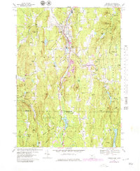
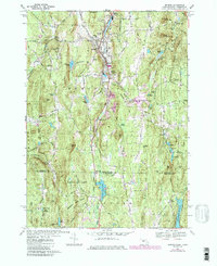
1967 Map of Monson
USGS Topo · Published 1979About this map
The Central Vermont Railroad anchors the industrial corridor of this region, following the path of Chicopee Brook through Monson and South Monson. In the late 1960s, this landscape transitioned from the concentrated mill settlements along the rail line to the expansive wooded reaches of Brimfield State Forest and Shenipsit State Forest. Educational and civic foundations are clearly marked, including the High Sch and Hillside Sch near the town center, while the outskirts are dotted with local landmarks like Bethany Cem and the Moulton Hill Cem.
Find a feature on this map
81 named features on this map. Tap any name to fly to it.
Don’t see what you’re looking for? This feature index may not catch every label — zoom into the map to look around manually.
Map Details
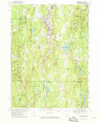
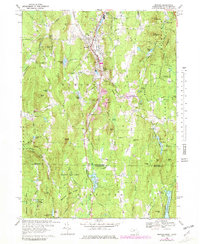
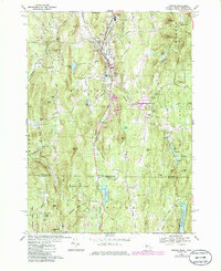
Editions of this 1967 Monson Map
5 editions found
Other maps of this area

1887 · Brookfield
USGS Topo · 1:62,500

1887 · Palmer
USGS Topo · 1:62,500

1889 · Palmer
USGS Topo · 1:62,500

1890 · Brookfield
USGS Topo · 1:62,500

1892 · Woodstock
USGS Topo · 1:62,500

1892 · Tolland
USGS Topo · 1:62,500

1893 · Palmer
USGS Topo · 1:62,500

1893 · Brookfield
USGS Topo · 1:62,500

1908 · Ware
USGS Topo · 1:125,000

1915 · Brookfield
USGS Topo · 1:62,500