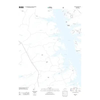
2013 Map of Mont
USGS Topo · Published 2013About this map
Commerce Landing and the small settlement of Mont sit along the intricate eastern shoreline of Lake Barkley in this Kentucky landscape. The modern hydrology is defined by the expansive waters of the lake, which has flooded several former creek valleys to create prominent inlets like Mammoth Furnace Bay, Cravens Bay, and Molloy Bay. These names, along with landmarks like Ingram Shoals, hint at the industrial and riverine history of the region before the creation of the reservoir.
Find a feature on this map
53 named features on this map. Tap any name to fly to it.
Don’t see what you’re looking for? This feature index may not catch every label — zoom into the map to look around manually.
Map Details
Editions of this 2013 Mont Map
This is the sole edition of this map. No revisions or reprints were ever made.
Other maps of this area

1908 · Princeton
USGS Topo · 1:62,500

1910 · Princeton
USGS Topo · 1:62,500

1928 · Eddyville
USGS Topo · 1:48,000

1931 · Eddyville
USGS Topo · 1:62,500

1936 · Eddyville
USGS Topo · 1:48,000

1936 · Mont
USGS Topo · 1:24,000

1936 · Fenton
USGS Topo · 1:24,000

1936 · Grand Rivers
USGS Topo · 1:24,000

1936 · Hiatt
USGS Topo · 1:24,000

1936 · Birmingham
USGS Topo · 1:24,000