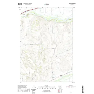
2020 Map of Montaqua
USGS Topo · Published 2020About this map
Yellowstone River cuts across the northern reaches of this landscape, marking the historic boundary between Stillwater and Carbon Counties. The settlement of Montaqua anchors the southern end of the map, situated at the confluence of irrigation networks and Rock Creek. This 2020 survey reveals a sophisticated system of water management essential to the region's agricultural life, including the Italian Ditch, Dutton Canal, and Clawson Ditch.
Find a feature on this map
47 named features on this map. Tap any name to fly to it.
Don’t see what you’re looking for? This feature index may not catch every label — zoom into the map to look around manually.
Map Details
Editions of this 2020 Montaqua Map
This is the sole edition of this map. No revisions or reprints were ever made.
Other maps of this area

1892 · Stillwater
USGS Topo · 1:125,000

1932 · Red Lodge No 1
USGS Topo · 1:48,000

1954 · Billings
USGS Topo · 1:250,000

1956 · Horse Butte
USGS Topo · 1:24,000

1956 · Silesia
USGS Topo · 1:24,000

1956 · Fromberg
USGS Topo · 1:24,000

1956 · Rapids
USGS Topo · 1:24,000

1956 · Laurel
USGS Topo · 1:24,000
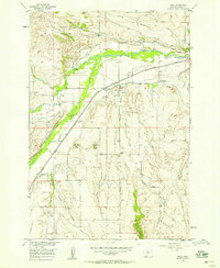
1956 · Boyd
USGS Topo · 1:24,000

1956 · Park City
USGS Topo · 1:24,000