Loading...
Loading map...2024 Map of Montaqua
USGS Topo · Published 2024About this map
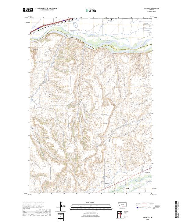
The Yellowstone River cuts through the northern edge of this landscape, anchoring a complex system of historical irrigation infrastructure. Early water engineering is prominently recorded here, including the Old Mill Ditch, Italian Ditch, and Big Ditch, which redirect water across the valley floor. Near the northern boundary, the Park City Cem stands as a focal point for genealogical research, situated just north of the river near Youngs Point.
Find a feature on this map
48 named features on this map. Tap any name to fly to it.
Don’t see what you’re looking for? This feature index may not catch every label — zoom into the map to look around manually.
Map Details
Date Portrayed2024
Date Published2024
PublisherU.S. Geological Survey
Map TypeTopographic
Scale1:24000
Physical Dimensions24 x 29 inches
Editions of this 2024 Montaqua Map
This is the sole edition of this map. No revisions or reprints were ever made.
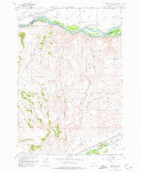
Historical Maps of Montaqua Through Time
Featured Locations
Source Details
SourceU.S. Geological Survey
CopyrightPublic Domain