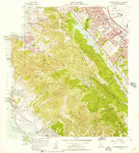
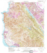
1956 Map of Montara Mountain
USGS Topo · Published 1957About this map
Montara Mountain dominates this coastal landscape, serving as a backdrop for the developing communities of the San Francisco Peninsula in the mid-1950s. Along the Pacific shoreline, small seaside settlements like Montara, Moss Beach, and Princeton sit near the Point Montara Light Station, while the eastern slopes transition into the suburban expansion of San Bruno, Millbrae, and Burlingame. The ridge lines are deeply tied to the region's infrastructure and history, featuring the San Andreas Rift Zone and essential water resources like San Andreas Lake and Pilarcitos Lake.
Find a feature on this map
85 named features on this map. Tap any name to fly to it.
Don’t see what you’re looking for? This feature index may not catch every label — zoom into the map to look around manually.
Map Details
Editions of this 1956 Montara Mountain Map
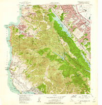
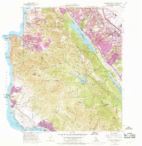
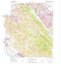
5 editions found
Other maps of this area

1892 · San Mateo
USGS Topo · 1:62,500

1896 · San Mateo
USGS Topo · 1:62,500

1899 · San Mateo
USGS Topo · 1:62,500

1902 · Santa Cruz
USGS Topo · 1:125,000

1915 · San Mateo
USGS Topo · 1:62,500

1939 · San Mateo
USGS Topo · 1:62,500

1940 · Halfmoon Bay
USGS Topo · 1:62,500

1943 · San Mateo
USGS Topo · 1:62,500

1943 · Halfmoon Bay
USGS Topo · 1:62,500

1947 · San Francisco
USGS Topo · 1:250,000