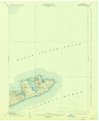
1904 Map of Montauk
USGS Topo · Published 1935About this map
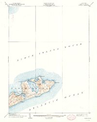
Montauk Point L.H. stands as the sentinel at the easternmost tip of Long Island in this 1903 survey, anchoring a landscape defined by its maritime isolation and rugged coastal topography. The township of Easthampton spans the narrow peninsula, where the Long Island R. R. (Montauk Div.) terminates near the shores of Fort Pond Bay. This era predates the intensive modern development of the Hamlets, showing a sparse settlement at Montauk surrounded by significant freshwater bodies like Great Pond and Oyster Pond. Life-Saving Stations, including Ditch Plain L.S.S. and Hither Plain L.S.S., are prominently marked along the southern shore, highlighting the dangerous nature of the Atlantic Ocean coastline for early twentieth-century mariners. The map details the transition from the rolling heights of Prospect Hill to the jagged points of Shagwong Pt. and Culloden Pt. on the Block Island Sound side.
Find a feature on this map
19 named features on this map. Tap any name to fly to it.
Don’t see what you’re looking for? This feature index may not catch every label — zoom into the map to look around manually.
Map Details
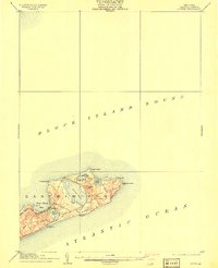
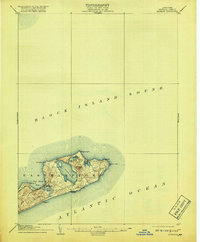
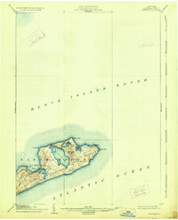
Editions of this 1904 Montauk Map
6 editions found

Other maps of this area

1889 · Stonington
USGS Topo · 1:62,500

1889 · Charlestown
USGS Topo · 1:62,500

1889 · Block Island
USGS Topo · 1:62,500

1892 · New London
USGS Topo · 1:62,500

1893 · Stonington
USGS Topo · 1:62,500

1893 · New London
USGS Topo · 1:62,500

1894 · Block Island
USGS Topo · 1:62,500

1899 · Block Island
USGS Topo · 1:62,500

1903 · Gardiners Island
USGS Topo · 1:62,500

1904 · Easthampton
USGS Topo · 1:62,500