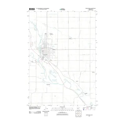
2010 Map of Montevideo
USGS Topo · Published 2010About this map
The confluence of the Chippewa River and the Minnesota River anchors the city of Montevideo, serving as a vital geographical hub in Chippewa County. This 2010 survey details the urban layout of the city, highlighting local heritage sites like the Chippewa City Pioneer Village and the Chippewa County Fairgrounds. The landscape is a mix of municipal infrastructure and agricultural utility, from the Montevideo-Chippewa County Airport to the Don Halverson Farm Pond Dam on the southern edge of town.
Find a feature on this map
36 named features on this map. Tap any name to fly to it.
Don’t see what you’re looking for? This feature index may not catch every label — zoom into the map to look around manually.
Map Details
Editions of this 2010 Montevideo Map
This is the sole edition of this map. No revisions or reprints were ever made.
Other maps of this area

1953 · New Ulm
USGS Topo · 1:250,000

1953 · Saint Cloud
USGS Topo · 1:250,000

1957 · Saint Cloud
USGS Topo · 1:250,000

1957 · New Ulm
USGS Topo · 1:250,000

1958 · New Ulm
USGS Topo · 1:250,000

1958 · Saint Cloud
USGS Topo · 1:250,000

1958 · Watson
USGS Topo · 1:24,000

1958 · Gracelock
USGS Topo · 1:24,000

1958 · Gracelock SW
USGS Topo · 1:24,000

1965 · Montevideo
USGS Topo · 1:24,000