Loading...
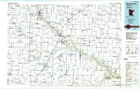
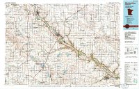
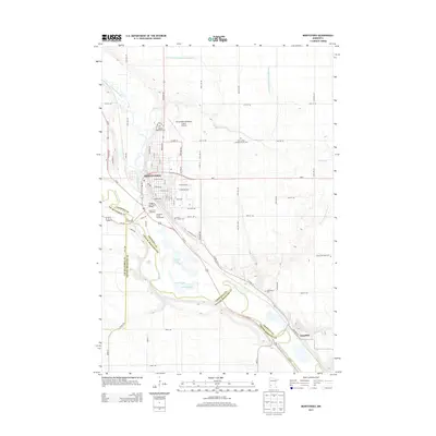
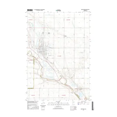
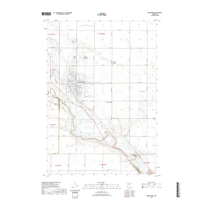
Loading map...1986 Map of Montevideo
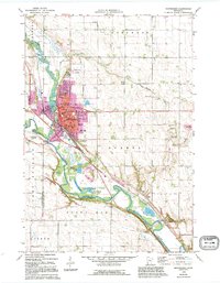
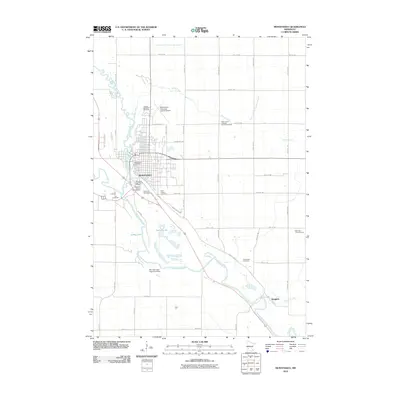
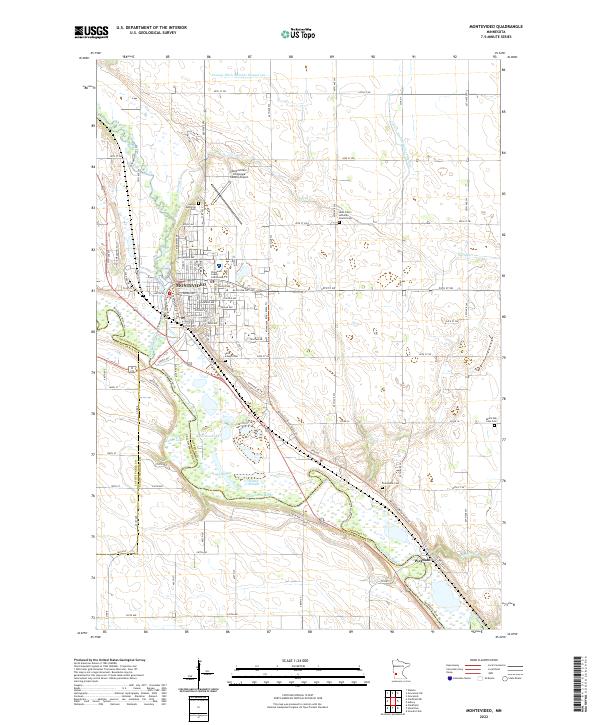
USGS Topo · Published 1986About this map
The Minnesota River carves a deep valley through this agricultural landscape, defining the character of western Minnesota in the mid-1980s. The confluence of the Chippewa River and the Minnesota at Montevideo serves as a primary regional hub, while the Burlington Northern railroad lines track the movement of goods between prairie grain elevators and larger markets. The map reveals a densely organized township grid, including Sparta, Ten Mile Lake, and Sacred Heart, reflecting the deeply rooted farming heritage of the region.
Find a feature on this map
99 named features on this map. Tap any name to fly to it.
Don’t see what you’re looking for? This feature index may not catch every label — zoom into the map to look around manually.
Map Details
Date Portrayed1986
Date Published1986
PublisherU.S. Geological Survey
Map TypeTopographic
Scale1:100,000
Physical Dimensions21.53 x 27.23 inches
Editions of this 1986 Montevideo Map
2 editions found
Historical Maps of Montevideo Through Time
7 maps found
Featured Locations
Source Details
SourceU.S. Geological Survey
CopyrightPublic Domain