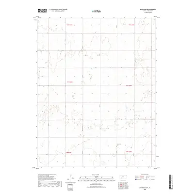
2018 Map of Montezuma NW
USGS Topo · Published 2018About this map
Fairview Cem serves as a primary historical landmark in this agricultural section of Gray County, situated just north of the border between t28s r28w and t27s r28w. The landscape is defined by the strict geometry of the Public Land Survey System, with a dense grid of section-line roads such as S Rd, V Rd, and X Rd facilitating access to remote farmsteads. One of the few diagonal departures from this grid is Monte Ingalls Rd, which provides a vital corridor through the townships of t27s r29w and t28s r29w. This 2018 survey reveals a modern rural environment where the placement of cemeteries and road junctions continues to reflect the early 20th-century settlement patterns of the High Plains.
Find a feature on this map
23 named features on this map. Tap any name to fly to it.
Don’t see what you’re looking for? This feature index may not catch every label — zoom into the map to look around manually.
Map Details
Editions of this 2018 Montezuma NW Map
This is the sole edition of this map. No revisions or reprints were ever made.
Other maps of this area

1892 · Dodge
USGS Topo · 1:125,000

1896 · Garden
USGS Topo · 1:125,000

1955 · Dodge City
USGS Topo · 1:250,000

1958 · Dodge City
USGS Topo · 1:250,000

1959 · Dodge City
USGS Topo · 1:250,000

1968 · Montezuma
USGS Topo · 1:24,000

1968 · Ingalls
USGS Topo · 1:24,000

1968 · Montezuma NW
USGS Topo · 1:24,000

1968 · Cimarron
USGS Topo · 1:24,000
1968 · Charleston
USGS Topo · 1:24,000