
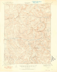
1924 Map of Montezuma
USGS Topo · Published 1924About this map
Montezuma sits at the heart of this high-altitude landscape, a town defined by its proximity to the mineral wealth of the surrounding peaks during the early twentieth century. This survey documents a critical period for the Colorado mining industry, illustrating the infrastructure required to extract ore from the Continental Divide. High-elevation operations like the Waldorf Mine, Hamill Mine, and the Whale Mine are recorded alongside transit routes such as Loveland Pass and Argentine Pass, which provided essential links through the mountains.
Find a feature on this map
127 named features on this map. Tap any name to fly to it.
Don’t see what you’re looking for? This feature index may not catch every label — zoom into the map to look around manually.
Map Details
Editions of this 1924 Montezuma Map
2 editions found
Other maps of this area

1889 · Leadville
USGS Topo · 1:125,000

1891 · Leadville
USGS Topo · 1:125,000

1903 · Georgetown
USGS Topo · 1:62,500

1905 · Central City
USGS Topo · 1:62,500

1905 · Georgetown
USGS Topo · 1:62,500

1910 · Central City
USGS Topo · 1:62,500

1912 · Central City
USGS Topo · 1:62,500

1924 · Fraser
USGS Topo · 1:62,500

1926 · Fraser
USGS Topo · 1:62,500

1926 · Montezuma
USGS Topo · 1:62,500