
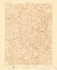
1926 Map of Montezuma
USGS Topo · Published 1926About this map
The Continental Divide anchors this high-altitude landscape where the headwaters of the Snake River and Clear Creek begin their descent. Mining activity is the defining human imprint of the mid-1920s, with a dense concentration of operations like the Waldorf Mine, Santiago Mine, and Hamill Mine clustered near the ridge lines. These sites are linked by high mountain crossings such as Argentine Pass and Loveland Pass, which served as critical transit points for ore and supplies between Summit and Clear Creek counties.
Find a feature on this map
125 named features on this map. Tap any name to fly to it.
Don’t see what you’re looking for? This feature index may not catch every label — zoom into the map to look around manually.
Map Details
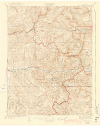
Editions of this 1926 Montezuma Map
3 editions found
Other maps of this area

1889 · Leadville
USGS Topo · 1:125,000

1891 · Leadville
USGS Topo · 1:125,000

1903 · Georgetown
USGS Topo · 1:62,500

1905 · Central City
USGS Topo · 1:62,500

1905 · Georgetown
USGS Topo · 1:62,500

1910 · Central City
USGS Topo · 1:62,500

1912 · Central City
USGS Topo · 1:62,500

1924 · Montezuma
USGS Topo · 1:62,500

1924 · Fraser
USGS Topo · 1:62,500

1926 · Fraser
USGS Topo · 1:62,500