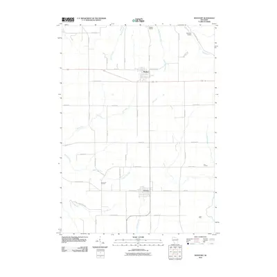
2010 Map of Montfort
USGS Topo · Published 2010About this map
The villages of Montfort and Livingston anchor this southwestern Wisconsin landscape, situated along the border of Grant and Iowa Counties. This survey captures a region defined by its hydrology and mineral history, with the headwaters of the Blue River and the Platte River carving through the terrain. The presence of the Mifflin Mine in the southeast corner reflects the area's long-standing connection to the Upper Mississippi Valley lead-zinc district, providing a clear point of interest for industrial historians.
Find a feature on this map
47 named features on this map. Tap any name to fly to it.
Don’t see what you’re looking for? This feature index may not catch every label — zoom into the map to look around manually.
Map Details
Editions of this 2010 Montfort Map
This is the sole edition of this map. No revisions or reprints were ever made.
Other maps of this area

1900 · Lancaster
USGS Topo · 1:125,000

1902 · Mineral Point
USGS Topo · 1:125,000

1904 · Lancaster
USGS Topo · 1:125,000

1905 · Richland Center
USGS Topo · 1:125,000

1908 · Lancaster
USGS Topo · 1:125,000

1933 · Boscobel
USGS Topo · 1:62,500

1952 · Rewey
USGS Topo · 1:24,000

1952 · Montfort
USGS Topo · 1:24,000

1952 · Linden
USGS Topo · 1:24,000

1952 · Mifflin
USGS Topo · 1:24,000