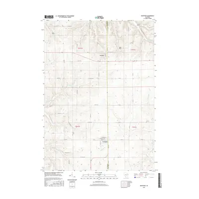
2016 Map of Montfort
USGS Topo · Published 2016About this map
The boundary between Iowa and Grant counties bisects this part of southwest Wisconsin, where the villages of Montfort and Livingston serve as primary hubs. The landscape is defined by the headwaters of several significant drainage systems, including the Blue River flowing north and the Platte River winding southwest. This 2016 survey illustrates a rural environment shaped by deep valleys such as Cass Hollow and Badger Hollow, which cut through the high ridges of the Driftless Area. Local heritage is anchored by sites like the Rock Church and its accompanying Rock Church Cem, along with the Zion Cem to the east. The transportation network relies on a grid of county roads and historic routes like Old Hwy 18, reflecting the agricultural and topographical constraints of the terrain.
Find a feature on this map
59 named features on this map. Tap any name to fly to it.
Don’t see what you’re looking for? This feature index may not catch every label — zoom into the map to look around manually.
Map Details
Editions of this 2016 Montfort Map
This is the sole edition of this map. No revisions or reprints were ever made.
Other maps of this area

1900 · Lancaster
USGS Topo · 1:125,000

1902 · Mineral Point
USGS Topo · 1:125,000

1904 · Lancaster
USGS Topo · 1:125,000

1905 · Richland Center
USGS Topo · 1:125,000

1908 · Lancaster
USGS Topo · 1:125,000

1933 · Boscobel
USGS Topo · 1:62,500

1952 · Rewey
USGS Topo · 1:24,000

1952 · Montfort
USGS Topo · 1:24,000

1952 · Linden
USGS Topo · 1:24,000

1952 · Mifflin
USGS Topo · 1:24,000