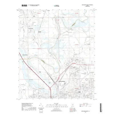
2018 Map of Montgomery North
USGS Topo · Published 2018About this map
Montgomery and the surrounding river bends of central Alabama are captured here in the late 2010s, showcasing a landscape defined by the winding Tallapoosa River and the expansive R E 'Bob' Woodruff Reservoir. The state capital's northern neighborhoods, including Capitol Heights and the historical stadium at Cramton Bowl, transition into a complex network of islands and chutes like Gun Island Chute and Three Chutes Bar. This area serves as a critical junction for regional transport, where the Louisville & Nashville RR tracks meet major river crossings. Further north, the suburban development of Millbrook and the outskirts of Prattville contrast with the low-lying wetlands of Berry Swamp and Cat Hollow. Smaller communities and junctions like Prattville Junction and Boylston are interspersed with older family landmarks, such as Glenn Cem and Rives Cem, providing a detailed look at the interface between the urban core and the Alabama river system.
Find a feature on this map
160 named features on this map. Tap any name to fly to it.
Don’t see what you’re looking for? This feature index may not catch every label — zoom into the map to look around manually.
Map Details
Editions of this 2018 Montgomery North Map
This is the sole edition of this map. No revisions or reprints were ever made.
Other maps of this area

1901 · Wetumpka
USGS Topo · 1:125,000

1901 · Wetumpka
USGS Topo · 1:62,500

1903 · Wetumpka
USGS Topo · 1:125,000

1927 · Montgomery
USGS Topo · 1:48,000

1930 · Montgomery
USGS Topo · 1:62,500

1953 · Montgomery
USGS Topo · 1:250,000

1956 · Montgomery
USGS Topo · 1:250,000

1957 · Montgomery
USGS Topo · 1:250,000

1958 · Montgomery
USGS Topo · 1:62,500

1958 · Montgomery North
USGS Topo · 1:24,000