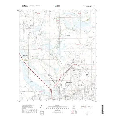
2020 Map of Montgomery North
USGS Topo · Published 2020About this map
The Coosa River defines the heart of this landscape, meandering through a series of wide bends and sandbars such as Lower Gause Bar and Three Chutes Bar. Large islands like Gun Island and Mud Island sit within the river's path, reflecting the complex hydrology near the confluence of local tributaries. The transition from the rural reaches of Elmore Co in the north to the urban expansion of Montgomery in the south illustrates the growth of the state capital's metropolitan area.
Find a feature on this map
168 named features on this map. Tap any name to fly to it.
Don’t see what you’re looking for? This feature index may not catch every label — zoom into the map to look around manually.
Map Details
Editions of this 2020 Montgomery North Map
This is the sole edition of this map. No revisions or reprints were ever made.
Other maps of this area

1901 · Wetumpka
USGS Topo · 1:125,000

1901 · Wetumpka
USGS Topo · 1:62,500

1903 · Wetumpka
USGS Topo · 1:125,000

1927 · Montgomery
USGS Topo · 1:48,000

1930 · Montgomery
USGS Topo · 1:62,500

1953 · Montgomery
USGS Topo · 1:250,000

1956 · Montgomery
USGS Topo · 1:250,000

1957 · Montgomery
USGS Topo · 1:250,000

1958 · Montgomery
USGS Topo · 1:62,500

1958 · Montgomery North
USGS Topo · 1:24,000