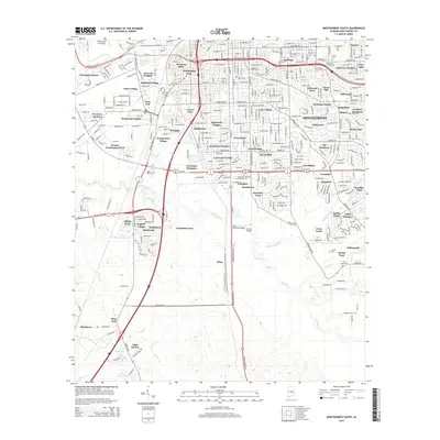
2014 Map of Montgomery South
USGS Topo · Published 2014About this map
Alabama State University and Huntingdon College anchor the academic landscape of southern Montgomery in this 2014 survey. The urban geography is defined by a dense network of neighborhoods including Cloverdale, West End, and McGehee Estates, while the city’s western edge is marked by the presence of Maxwell Air Force Base. Significant hydrological features like Catoma Creek and Baldwin Slough wind through the southern sections of the city, crossed by landmarks such as the Pete Peterson Bridge and Norman Bridge. For genealogists and local historians, several burial grounds are preserved on this map, from Greenwood Cemetery and Remount Park Cemetery in the north to the more secluded Joseph Cemetery and Troy Chapel Cemetery near the city's southern rural-urban fringe.
Find a feature on this map
89 named features on this map. Tap any name to fly to it.
Don’t see what you’re looking for? This feature index may not catch every label — zoom into the map to look around manually.
Map Details
Editions of this 2014 Montgomery South Map
This is the sole edition of this map. No revisions or reprints were ever made.
Other maps of this area

1927 · Montgomery
USGS Topo · 1:48,000

1930 · Montgomery
USGS Topo · 1:62,500

1953 · Montgomery
USGS Topo · 1:250,000

1956 · Montgomery
USGS Topo · 1:250,000

1957 · Montgomery
USGS Topo · 1:250,000

1957 · Letohatchee
USGS Topo · 1:62,500

1958 · Montgomery
USGS Topo · 1:62,500

1958 · Montgomery North
USGS Topo · 1:24,000

1958 · Montgomery South
USGS Topo · 1:24,000

1958 · Mount Meigs
USGS Topo · 1:62,500