
1891 Map of Monticello
USGS Topo · Published 1891About this map
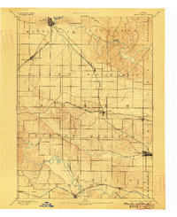
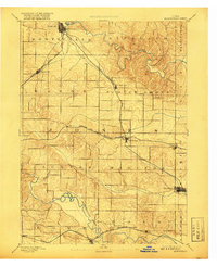
The Chicago Milwaukee and St Paul Railroad and the Chicago and North Western Railroad dominate this 1889 survey of central Jones County, intersecting at the hub of Center Junction. The map illustrates a landscape transitioning from the winding, wooded riparian corridors of the Maquoketa River and the Wapsipinicon River to a highly organized grid of rural townships. These rail lines served as the lifeblood for established towns like Monticello and Wyoming, while also sustaining smaller stops such as Longworthy, Scotch Grove, and Hale.
Find a feature on this map
30 named features on this map. Tap any name to fly to it.
Don’t see what you’re looking for? This feature index may not catch every label — zoom into the map to look around manually.
Map Details
Editions of this 1891 Monticello Map
3 editions found
Other maps of this area

1889 · Tipton
USGS Topo · 1:62,500

1890 · Tipton
USGS Topo · 1:62,500

1890 · Anamosa
USGS Topo · 1:62,500

1891 · Mechanicsville
USGS Topo · 1:62,500

1891 · Baldwin
USGS Topo · 1:62,500

1892 · Wheatland
USGS Topo · 1:62,500

1894 · Wheatland
USGS Topo · 1:62,500

1894 · Mechanicsville
USGS Topo · 1:62,500

1900 · Anamosa
USGS Topo · 1:125,000

1901 · Peosta
USGS Topo · 1:125,000