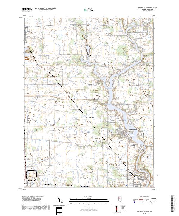
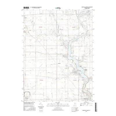
2022 Map of Monticello North
USGS Topo · Published 2022About this map
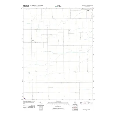
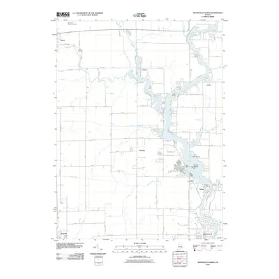
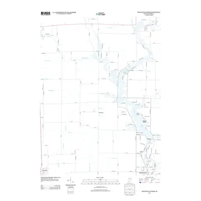
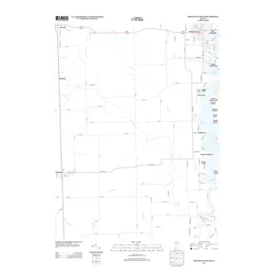
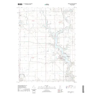
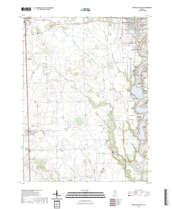
The Tippecanoe River corridor dominates this northern Indiana landscape, where the widening waters of Lake Shafer create a complex shoreline of inlets like Big Monon Bay and Hoagland Bay. This hydrological pattern, shaped by the river's course through White County, has fostered distinct residential developments such as the Isle of Homes and the recreational hub at Indiana Beach. The surrounding plains are heavily defined by an intricate network of agricultural drainage, including the Big Monon Ditch, Hoagland Ditch, and McKillip Ditch.
Find a feature on this map
82 named features on this map. Tap any name to fly to it.
Don’t see what you’re looking for? This feature index may not catch every label — zoom into the map to look around manually.
Map Details
Editions of this 2022 Monticello North Map
This is the sole edition of this map. No revisions or reprints were ever made.
Historical Maps of Monticello Through Time
24 maps found
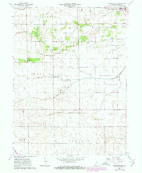
1962 Brookston NW
White County, IN
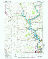
1962 Monticello North
White County, IN
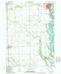
1962 Monticello South
White County, IN
1962 Templeton NE
White County, IN
2010 Brookston NW
White County, IN
2010 Monticello North
White County, IN
2010 Monticello South
White County, IN
2010 Templeton NE
White County, IN
2013 Brookston NW
White County, IN
2013 Monticello North
White County, IN
2013 Monticello South
White County, IN
2013 Templeton NE
White County, IN
2016 Brookston NW
White County, IN
2016 Monticello North
White County, IN
2016 Monticello South
White County, IN
2016 Templeton NE
White County, IN
2019 Brookston NW
White County, IN
2019 Monticello North
White County, IN
2019 Monticello South
White County, IN
2019 Templeton NE
White County, IN
2022 Brookston NW
White County, IN
2022 Monticello North
White County, IN
2022 Monticello South
White County, IN
2022 Templeton NE
White County, IN