
1962 Map of Brookston NW
USGS Topo · Published 1963About this map
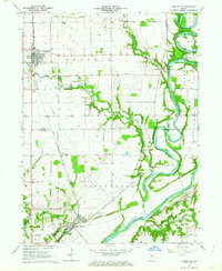
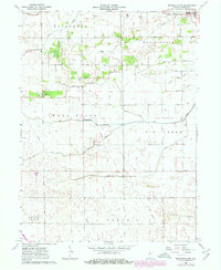
Reynolds anchors the northeast corner of this agricultural survey in White County, sitting at a critical intersection of rail lines and drainage networks. The landscape is defined by an extensive system of man-made waterways like Fraser Ditch and Scipio Ditch that channel water into the larger Honey Creek and Big Creek basins. This infrastructure, typical of the mid-century Indiana till plain, allowed for the systematic cultivation of townships including Princeton, West Point, and Round Grove.
Find a feature on this map
23 named features on this map. Tap any name to fly to it.
Don’t see what you’re looking for? This feature index may not catch every label — zoom into the map to look around manually.
Map Details
Editions of this 1962 Brookston NW Map
3 editions found
Other maps of this area

1953 · Danville
USGS Topo · 1:250,000

1955 · Danville
USGS Topo · 1:250,000

1956 · Danville
USGS Topo · 1:250,000

1962 · Brookston SW
USGS Topo · 1:24,000

1962 · Monticello South
USGS Topo · 1:24,000
1962 · Round Grove
USGS Topo · 1:24,000

1962 · Templeton NE
USGS Topo · 1:24,000

1962 · Monon
USGS Topo · 1:24,000

1962 · Monticello North
USGS Topo · 1:24,000
1962 · Wolcott
USGS Topo · 1:24,000