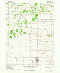
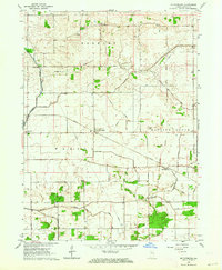
1962 Map of Wolcott
USGS Topo · Published 1964About this map
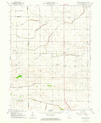
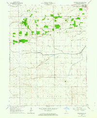
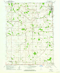
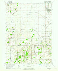
Agricultural fields and drainage networks dominate the landscape of the Jasper Co White Co border in the early 1960s. The town of Wolcott serves as the primary hub of activity, established along the Pennsylvania railroad line. This period shows a community deeply tied to its land and heritage, evidenced by numerous rural burial grounds such as Milroy Cem and Dobbins Cem scattered across the township divisions of Princeton, Carpenter, and Milroy. An extensive system of engineered waterways, including Bice Ditch and McKillip Ditch, illustrates the complex effort to manage the local hydrology for farming. Religious life is rooted in the countryside at sites like Palestine Ch and Mt Zion Ch, while a Gaging Station monitors the water flow that remains vital to the region's productivity.
Find a feature on this map
26 named features on this map. Tap any name to fly to it.
Don’t see what you’re looking for? This feature index may not catch every label — zoom into the map to look around manually.
Map Details
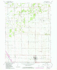
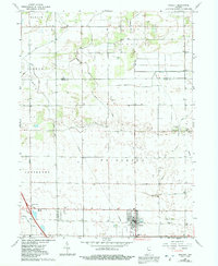
Editions of this 1962 Wolcott Map
3 editions found
Other maps of this area

1953 · Danville
USGS Topo · 1:250,000

1955 · Danville
USGS Topo · 1:250,000

1956 · Danville
USGS Topo · 1:250,000
1962 · Mount Gilboa
USGS Topo · 1:24,000
1962 · Templeton NE
USGS Topo · 1:24,000
1962 · Brookston NW
USGS Topo · 1:24,000
1962 · Monon
USGS Topo · 1:24,000
1962 · Francesville
USGS Topo · 1:24,000
1962 · Mc Coysburg
USGS Topo · 1:24,000
1962 · Rensselaer
USGS Topo · 1:24,000