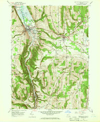
1950 Map of Montour Falls
USGS Topo · Published 1966About this map
Watkins Glen State Park and the southern tip of Seneca Lake anchor the northern reaches of this mid-century New York landscape. The steep glacial terrain is defined by dramatic elevation drops, most notably at Shequaga Falls and Aunt Sarahs Falls near the village of Montour Falls. The valley floor serves as a vital corridor for the Barge Canal and the Pennsylvania railroad, tracing the path of Catharine Creek southward toward Millport.
Find a feature on this map
66 named features on this map. Tap any name to fly to it.
Don’t see what you’re looking for? This feature index may not catch every label — zoom into the map to look around manually.
Map Details
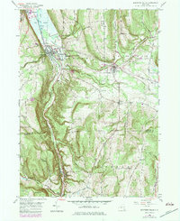
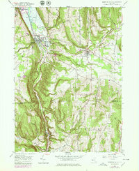
Editions of this 1950 Montour Falls Map
4 editions found

Other maps of this area

1893 · Ithaca
USGS Topo · 1:62,500

1895 · Ithaca
USGS Topo · 1:62,500

1895 · Elmira
USGS Topo · 1:62,500

1898 · Watkins Glen
USGS Topo · 1:62,500

1901 · Watkins
USGS Topo · 1:62,500

1902 · Waverly
USGS Topo · 1:62,500

1905 · Watkins Glen
USGS Topo · 1:125,000

1950 · Elmira
USGS Topo · 1:250,000

1950 · Alpine
USGS Topo · 1:24,000
1950 · Burdett
USGS Topo · 1:24,000