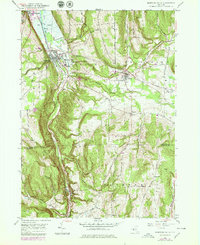
1950 Map of Montour Falls
USGS Topo · Published 1979About this map
Montour Falls sits at the head of the Catharine Valley, where steep glacial troughs meet the southern tip of Seneca Lake. This area was a critical nexus for early New York transportation, featuring the Barge Canal and the Conrail line tracing the valley floor. The map captures the dramatic elevation changes of the Finger Lakes region, marked by numerous cataracts including Shequaga Falls and Aunt Sarahs Falls. Local industry and education are represented by St Johns Seminary and several neighborhood schools like School No 9 and School No 1. Cultural and historical markers are scattered throughout the hills, from Havana Glen to the small upland settlement of Catharine. This survey reflects the mid-century landscape of Schuyler Co and Chemung Co just before modern expansion began to alter these valley corridors.
Find a feature on this map
61 named features on this map. Tap any name to fly to it.
Don’t see what you’re looking for? This feature index may not catch every label — zoom into the map to look around manually.
Map Details
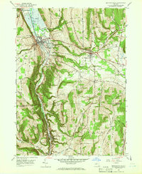
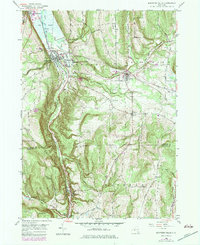
Editions of this 1950 Montour Falls Map
4 editions found

Other maps of this area

1893 · Ithaca
USGS Topo · 1:62,500

1895 · Ithaca
USGS Topo · 1:62,500

1895 · Elmira
USGS Topo · 1:62,500

1898 · Watkins Glen
USGS Topo · 1:62,500

1901 · Watkins
USGS Topo · 1:62,500

1902 · Waverly
USGS Topo · 1:62,500

1905 · Watkins Glen
USGS Topo · 1:125,000

1950 · Elmira
USGS Topo · 1:250,000

1950 · Alpine
USGS Topo · 1:24,000
1950 · Burdett
USGS Topo · 1:24,000