
1967 Map of Montpelier
USGS Topo · Published 1968About this map
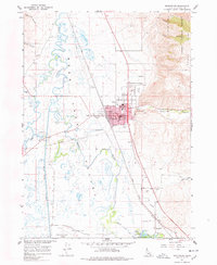
Montpelier serves as the focal point of this 1967 survey, situated where the Union Pacific line cuts through the Bear Lake Valley. The town layout is remarkably detailed, showing the civic heart of the community including the City Hall, Library, and Post Office, alongside educational landmarks like Winters Sch and the High School. The infrastructure of the era is evident in the presence of a Grain Elevator near the tracks and the Radio Tower (KVSI), reflecting the agricultural and communication hubs of the region.
Find a feature on this map
52 named features on this map. Tap any name to fly to it.
Don’t see what you’re looking for? This feature index may not catch every label — zoom into the map to look around manually.
Map Details
Editions of this 1967 Montpelier Map
2 editions found
Other maps of this area

1909 · Montpelier
USGS Topo · 1:125,000

1911 · Montpelier
USGS Topo · 1:125,000

1955 · Preston
USGS Topo · 1:250,000

1958 · Preston
USGS Topo · 1:250,000

1962 · Preston
USGS Topo · 1:250,000

1967 · Paris
USGS Topo · 1:24,000

1967 · Ovid
USGS Topo · 1:24,000

1967 · Dingle
USGS Topo · 1:24,000
1970 · Georgetown
USGS Topo · 1:24,000
1970 · Montpelier Canyon
USGS Topo · 1:24,000