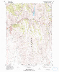
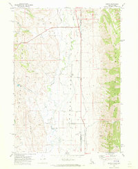
1970 Map of Montpelier Canyon
USGS Topo · Published 1973About this map
Caribou National Forest dominates this topographic study, revealing the high-altitude landscape of eastern Idaho at the start of the 1970s. The northern reaches are anchored by the Montpelier Reservoir and the Montpelier Creek Dam, where water management was critical for the surrounding drainage basins. The map illustrates a transition from the structured recreational spaces of Whitman Hollow Campground and the Picnic Area near Montpelier Canyon to the more utilitarian landscapes marked by a Mine Dump and isolated Drill Hole.
Find a feature on this map
38 named features on this map. Tap any name to fly to it.
Don’t see what you’re looking for? This feature index may not catch every label — zoom into the map to look around manually.
Map Details
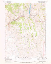
Editions of this 1970 Montpelier Canyon Map
2 editions found
Other maps of this area

1909 · Montpelier
USGS Topo · 1:125,000

1911 · Montpelier
USGS Topo · 1:125,000

1955 · Preston
USGS Topo · 1:250,000

1958 · Preston
USGS Topo · 1:250,000

1962 · Preston
USGS Topo · 1:250,000

1967 · Montpelier
USGS Topo · 1:24,000

1967 · Dingle
USGS Topo · 1:24,000
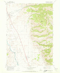
1970 · Georgetown
USGS Topo · 1:24,000
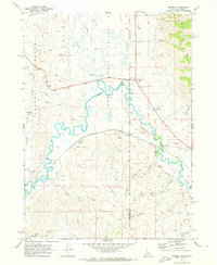
1970 · Border
USGS Topo · 1:24,000
1970 · Geneva
USGS Topo · 1:24,000