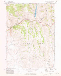
1970 Map of Montpelier Canyon
USGS Topo · Published 1973About this map
Caribou National Forest dominates this landscape in the southeastern corner of Idaho, where the Sheep Creek Range Hills create a complex network of high-elevation drainages and ridges. The 1970 field check captures a period of active land use centered on the Montpelier Creek corridor, which serves as the primary artery through the canyon. The presence of a Strip Mine and multiple prospects suggests the industrial mineral extraction characteristic of the Bear Lake region, while the development of the Montpelier Reservoir and several designated sites like Montpelier Canyon Campground point to the area's increasing role in regional recreation. Surveyed trails such as the Telephone Trail and Aegeter Hollow Trail weave through the timbered slopes, following the natural geography of Whitman Hollow and Bischoff Canyon before the modern footprint of tourism fully reshaped these backcountry access points.
Find a feature on this map
44 named features on this map. Tap any name to fly to it.
Don’t see what you’re looking for? This feature index may not catch every label — zoom into the map to look around manually.
Map Details
Editions of this 1970 Montpelier Canyon Map
2 editions found
Other maps of this area

1909 · Montpelier
USGS Topo · 1:125,000

1911 · Montpelier
USGS Topo · 1:125,000

1955 · Preston
USGS Topo · 1:250,000

1958 · Preston
USGS Topo · 1:250,000

1962 · Preston
USGS Topo · 1:250,000

1967 · Montpelier
USGS Topo · 1:24,000

1967 · Dingle
USGS Topo · 1:24,000
1970 · Georgetown
USGS Topo · 1:24,000
1970 · Border
USGS Topo · 1:24,000
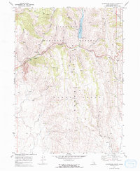
1970 · Montpelier Canyon
USGS Topo · 1:24,000