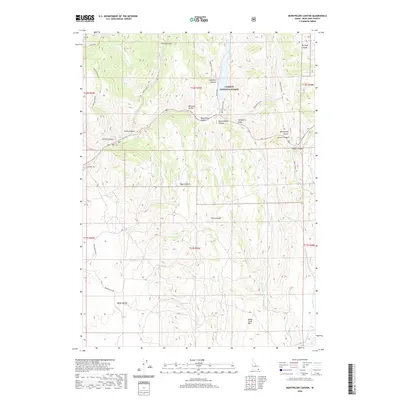
2020 Map of Montpelier Canyon
USGS Topo · Published 2020About this map
Caribou National Forest encompasses much of this Bear Lake County landscape, where the Preuss Range and Sheep Creek Hills define a complex system of drainage and passage. The geography is marked by numerous named draws and gulches, including Gertsch Hollow, Bunney Gulch, and Aegetter Hollow, which funnel water toward Montpelier Cr. This modern survey illustrates the enduring importance of high-altitude crossings like Geneva Summit and the steep descent through Montpelier Canyon. Human movement through the area is anchored by Banks Valley Rd and Landfill Rd, tracing the lower elevations of Banks Valley. The map detail provides a clear look at the intricate terrain around Willow Spring and the headwaters of W Fork Sheep Cr, essential landmarks for navigating this section of southeastern Idaho.
Find a feature on this map
30 named features on this map. Tap any name to fly to it.
Don’t see what you’re looking for? This feature index may not catch every label — zoom into the map to look around manually.
Map Details
Editions of this 2020 Montpelier Canyon Map
This is the sole edition of this map. No revisions or reprints were ever made.
Other maps of this area

1909 · Montpelier
USGS Topo · 1:125,000

1911 · Montpelier
USGS Topo · 1:125,000

1955 · Preston
USGS Topo · 1:250,000

1958 · Preston
USGS Topo · 1:250,000

1962 · Preston
USGS Topo · 1:250,000

1967 · Montpelier
USGS Topo · 1:24,000

1967 · Dingle
USGS Topo · 1:24,000
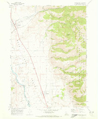
1970 · Georgetown
USGS Topo · 1:24,000
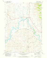
1970 · Border
USGS Topo · 1:24,000
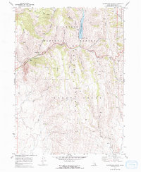
1970 · Montpelier Canyon
USGS Topo · 1:24,000