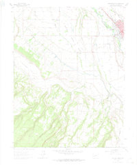
1962 Map of Montrose West
USGS Topo · Published 1974About this map
The Uncompahgre River and the Denver and Rio Grande Western corridor anchor the eastern edge of this landscape during the early 1960s, documenting the expansion of Montrose and its surrounding rural infrastructure. This map captures a transition from the developing urban fringe near the County Airport to the established agricultural and ranching lands of the Shavano Valley. Notable local institutions such as the Maple Grove School and Grandview Cemetery appear alongside the small settlement of Oak Grove, serving as vital anchors for genealogical research in this part of Montrose County. The terrain is defined by a network of mesas and deep drainages, including Franklin Mesa and DeVinney Canyon, while the complex irrigation system of the West Canal reflects the intensive land management required to support the local valley economy.
Find a feature on this map
28 named features on this map. Tap any name to fly to it.
Don’t see what you’re looking for? This feature index may not catch every label — zoom into the map to look around manually.
Map Details
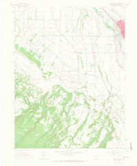
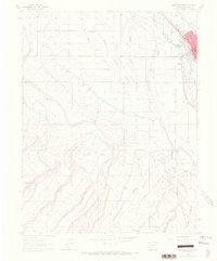
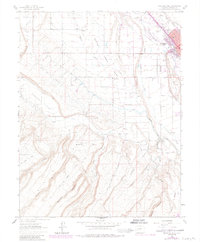
Editions of this 1962 Montrose West Map
4 editions found
Other maps of this area

1909 · Montrose
USGS Topo · 1:125,000

1911 · Montrose
USGS Topo · 1:125,000

1955 · Olathe
USGS Topo · 1:24,000

1955 · Red Rock Canyon
USGS Topo · 1:24,000

1956 · Montrose
USGS Topo · 1:250,000

1956 · Moab
USGS Topo · 1:250,000

1959 · Moab
USGS Topo · 1:250,000

1959 · Montrose
USGS Topo · 1:250,000

1960 · Montrose
USGS Topo · 1:250,000

1960 · Moab
USGS Topo · 1:250,000