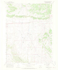
1966 Map of Monument Butte
USGS Topo · Published 1969About this map
Iles Mountain dominates the northern landscape of this Moffat County region, where the high-altitude terrain transitions into the resource-rich Axial Basin. This 1966 field-checked survey highlights the industrial footprint of the Iles Dome Oil Field, characterized by a network of pipelines and an isolated Oil Well south of the mountain's ridge. Evidence of early settlement and ranching is found at the Loyd (Site) and Iles Grove, located near the intersection of the basin's drainage systems. The map details a complex network of seasonal water sources and canyons, including Stinking Gulch, Milk Creek, and Sulphur Gulch. Notable for local historians and land use researchers, the sheet also marks Gravel Pits and various jeep trails that navigate the steep slopes leading up to Monument Butte and Thornburg Mountain.
Find a feature on this map
25 named features on this map. Tap any name to fly to it.
Don’t see what you’re looking for? This feature index may not catch every label — zoom into the map to look around manually.
Map Details
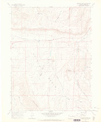
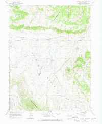
Editions of this 1966 Monument Butte Map
3 editions found
Other maps of this area

1910 · Danforth Hills
USGS Topo · 1:125,000

1912 · Meeker
USGS Topo · 1:62,500

1912 · Axial
USGS Topo · 1:62,500

1914 · Meeker
USGS Topo · 1:62,500

1914 · Axial
USGS Topo · 1:62,500

1915 · Monument Butte
USGS Topo · 1:62,500

1954 · Craig
USGS Topo · 1:250,000

1957 · Craig
USGS Topo · 1:250,000

1958 · Craig
USGS Topo · 1:250,000

1960 · Craig
USGS Topo · 1:250,000