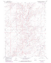
1968 Map of Monument Butte NE
USGS Topo · Published 1980About this map
Monument Butte Road serves as a primary artery through this high-desert landscape in Sweetwater County, tracing the arid terrain alongside seasonal drainages like West Buckhorn Draw and East Buckhorn Draw. Recorded by the Geological Survey during the late 1960s with revisions through the late 1970s, the map reveals a remote environment focused on water management and resource extraction. Evidence of early infrastructure is found at Little Colorado Well No 1, Little Colorado Well No 8, and Little Colorado Well No 2, indicating the importance of groundwater for livestock or industrial use in an otherwise dry corridor.
Find a feature on this map
15 named features on this map. Tap any name to fly to it.
Don’t see what you’re looking for? This feature index may not catch every label — zoom into the map to look around manually.
Map Details
Editions of this 1968 Monument Butte NE Map
2 editions found
Other maps of this area

1955 · Lander
USGS Topo · 1:250,000

1958 · Lander
USGS Topo · 1:250,000

1961 · Lander
USGS Topo · 1:250,000
1968 · Twelvemile Sink
USGS Topo · 1:24,000

1968 · Twelvemile Knoll
USGS Topo · 1:24,000
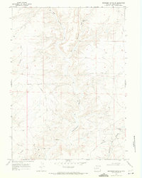
1968 · Monument Butte NE
USGS Topo · 1:24,000
1968 · Blue Forest
USGS Topo · 1:24,000
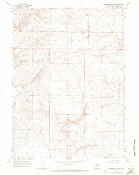
1968 · Simpson Gulch SW
USGS Topo · 1:24,000
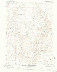
1968 · Monument Butte
USGS Topo · 1:24,000

1969 · Oasis Well
USGS Topo · 1:24,000