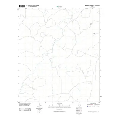
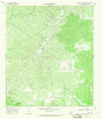
2010 Map of Monument Mountain SE
USGS Topo · Published 2010About this map
The James River snakes through this portion of Mason County, defining the drainage patterns of a landscape marked by deep draws and seasonal waterways. At the beginning of the 21st century, the area remains dominated by ranching and rural transit, with Salt Branch Loop and James River Rd providing the primary access through the terrain. The presence of Windmill Draw and Ed Keller Draw reflects the localized naming of the topography, often tied to early settlers and the vital necessity of water management in this part of Texas.
Find a feature on this map
11 named features on this map. Tap any name to fly to it.
Don’t see what you’re looking for? This feature index may not catch every label — zoom into the map to look around manually.
Map Details
Editions of this 2010 Monument Mountain SE Map
This is the sole edition of this map. No revisions or reprints were ever made.
Other maps of this area

1887 · Mason
USGS Topo · 1:125,000

1894 · Mason
USGS Topo · 1:125,000

1894 · Kerrville
USGS Topo · 1:125,000

1954 · Llano
USGS Topo · 1:250,000

1955 · Llano
USGS Topo · 1:250,000

1956 · Llano
USGS Topo · 1:250,000
1967 · Panther Creek
USGS Topo · 1:24,000
1967 · Doss
USGS Topo · 1:24,000
1967 · Mason
USGS Topo · 1:24,000
1967 · Monument Mountain SE
USGS Topo · 1:24,000