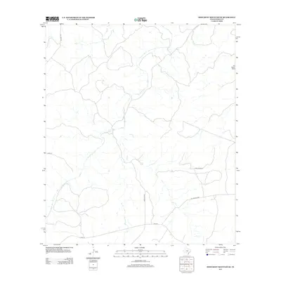
2012 Map of Monument Mountain SE
USGS Topo · Published 2012About this map
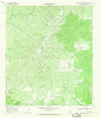
The James River snakes through this portion of Mason County, defining a landscape shaped by significant drainage systems and rural transit routes. The river is joined by various tributaries including Mill Cr and Salt Cr, which carve through the terrain and dictate the placement of local infrastructure. To the northeast, the topographical feature known as Ed Keller Draw suggests the influence of local families on the naming of the land.
Find a feature on this map
9 named features on this map. Tap any name to fly to it.
Don’t see what you’re looking for? This feature index may not catch every label — zoom into the map to look around manually.
Map Details
Editions of this 2012 Monument Mountain SE Map
This is the sole edition of this map. No revisions or reprints were ever made.
Other maps of this area

1887 · Mason
USGS Topo · 1:125,000

1894 · Mason
USGS Topo · 1:125,000

1894 · Kerrville
USGS Topo · 1:125,000

1954 · Llano
USGS Topo · 1:250,000

1955 · Llano
USGS Topo · 1:250,000

1956 · Llano
USGS Topo · 1:250,000
1967 · Panther Creek
USGS Topo · 1:24,000
1967 · Doss
USGS Topo · 1:24,000
1967 · Mason
USGS Topo · 1:24,000
1967 · Monument Mountain SE
USGS Topo · 1:24,000