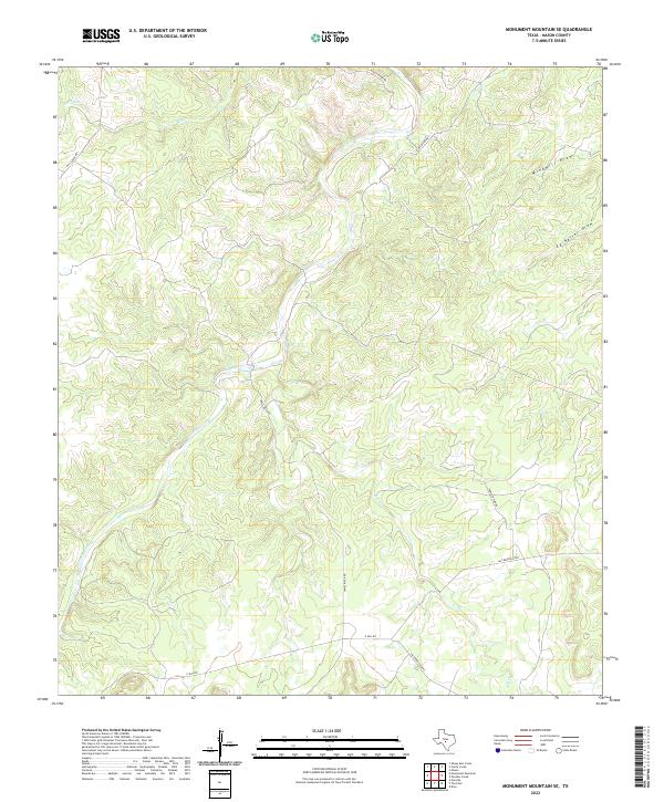
2022 Map of Monument Mountain SE
USGS Topo · Published 2022About this map
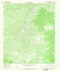
The James River carves a central path through this portion of Mason County, where the Texas Hill Country terrain is defined by a dense network of drainages and seasonal watercourses. The landscape is marked by substantial geographic features such as Windmill Draw and Ed Keller Draw, illustrating the erosional patterns common to this limestone-rich region. Human presence is largely defined by the rural road network, which follows the contours of the land to connect remote properties and water access points. Notable routes such as James River Rd and Salt Branch Loop provide the primary framework for local travel, while Salt Cr and Mill Cr highlight the vital importance of riparian corridors in an otherwise arid environment. This 2022 survey documents the persistent rural character of the area, where land use remains tied to the natural hydrology and topographical relief of the river basin.
Find a feature on this map
11 named features on this map. Tap any name to fly to it.
Don’t see what you’re looking for? This feature index may not catch every label — zoom into the map to look around manually.
Map Details
Editions of this 2022 Monument Mountain SE Map
This is the sole edition of this map. No revisions or reprints were ever made.
Other maps of this area

1887 · Mason
USGS Topo · 1:125,000

1894 · Mason
USGS Topo · 1:125,000

1894 · Kerrville
USGS Topo · 1:125,000

1954 · Llano
USGS Topo · 1:250,000

1955 · Llano
USGS Topo · 1:250,000

1956 · Llano
USGS Topo · 1:250,000
1967 · Panther Creek
USGS Topo · 1:24,000
1967 · Doss
USGS Topo · 1:24,000
1967 · Mason
USGS Topo · 1:24,000
1967 · Monument Mountain SE
USGS Topo · 1:24,000