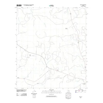
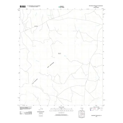
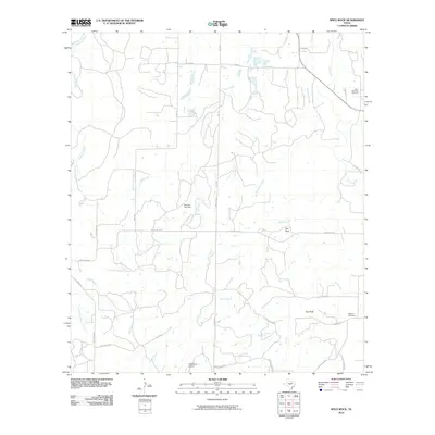
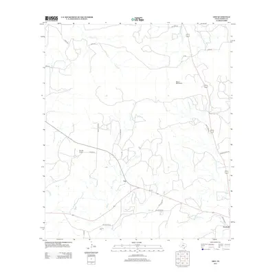
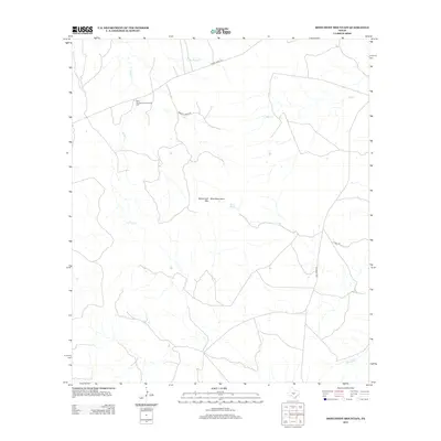
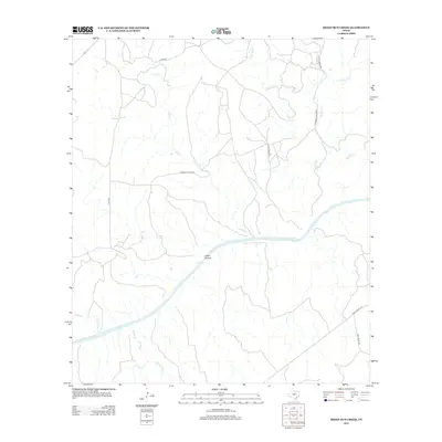
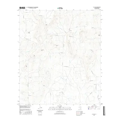
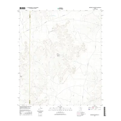
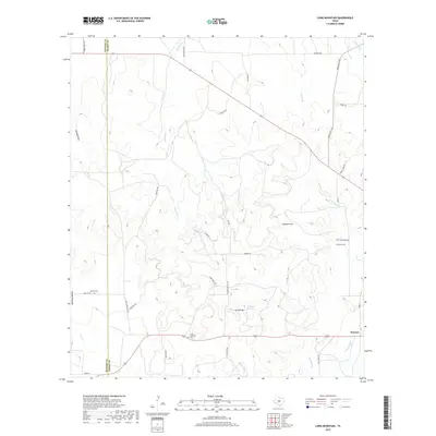
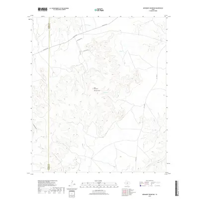
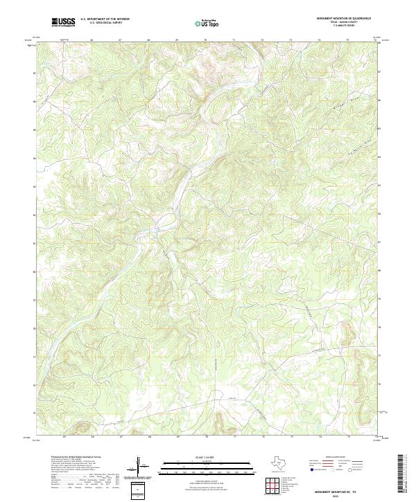
1967 Map of Monument Mountain SE
USGS Topo · Published 1992About this map
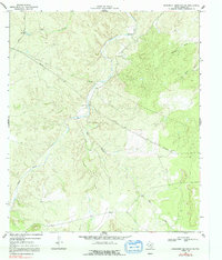
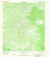
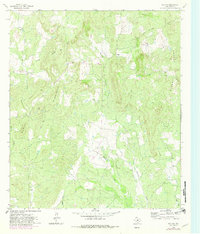
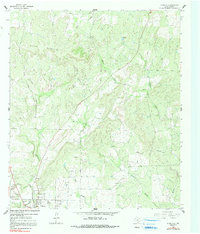
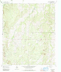
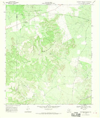
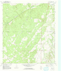
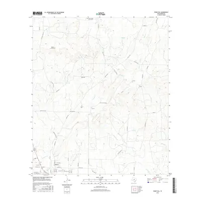
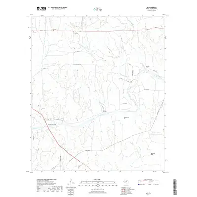
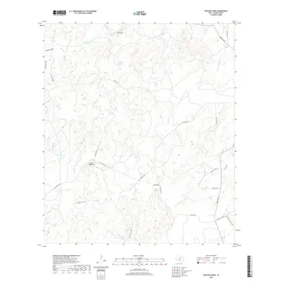
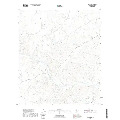
The James River meanders through this portion of Mason County, defining a landscape shaped by intermittent watercourses and ranching infrastructure. During the late 1960s, this area remained largely undeveloped, characterized by significant terrain relief and the presence of several drainage features like Mill Creek, Salt Creek, and the long descent of Windmill Draw. While few permanent structures are recorded, the map indicates the practical needs of the era through a remote Landing Strip and a network of pipelines crossing the hills. Localized water access points are noted, including a specific Ford across the river and a Well located in the southeastern quadrant. The topography is dominated by the ridges surrounding Keller Draw, showing a rural Texas environment where natural geography dictated the placement of early aviation and utility corridors.
Find a feature on this map
11 named features on this map. Tap any name to fly to it.
Don’t see what you’re looking for? This feature index may not catch every label — zoom into the map to look around manually.
Map Details
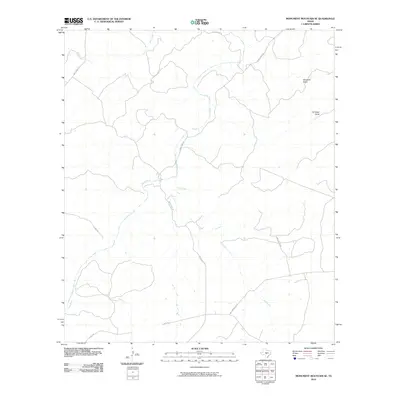
Editions of this 1967 Monument Mountain SE Map
2 editions found
Historical Maps of Mason County Through Time
78 maps found
1962 Fly Gap
Mason County, TX
1962 Purdy Hill
Mason County, TX
1963 Spice Rock
Mason County, TX
1967 Art
Mason County, TX
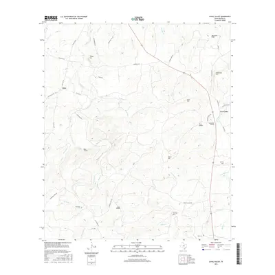
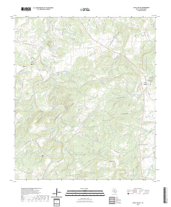
1967 Loyal Valley
Mason County, TX
1967 Monument Mountain SE
Mason County, TX
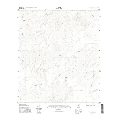
1967 Panther Creek
Mason County, TX
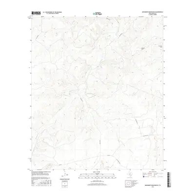
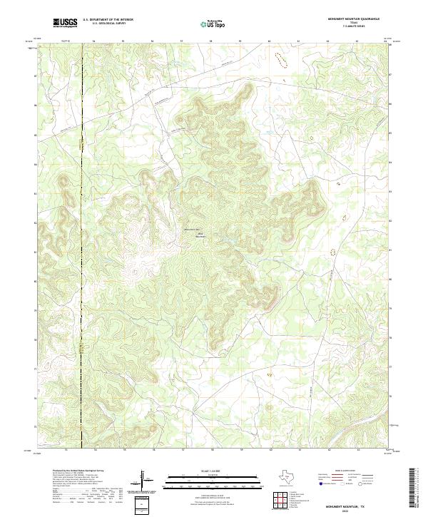
1968 Monument Mountain
Mason County, TX
1968 Sheep Run Creek
Mason County, TX
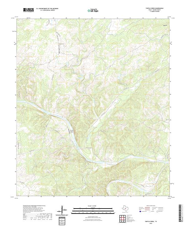
1968 Turtle Creek
Mason County, TX
1970 Grit
Mason County, TX
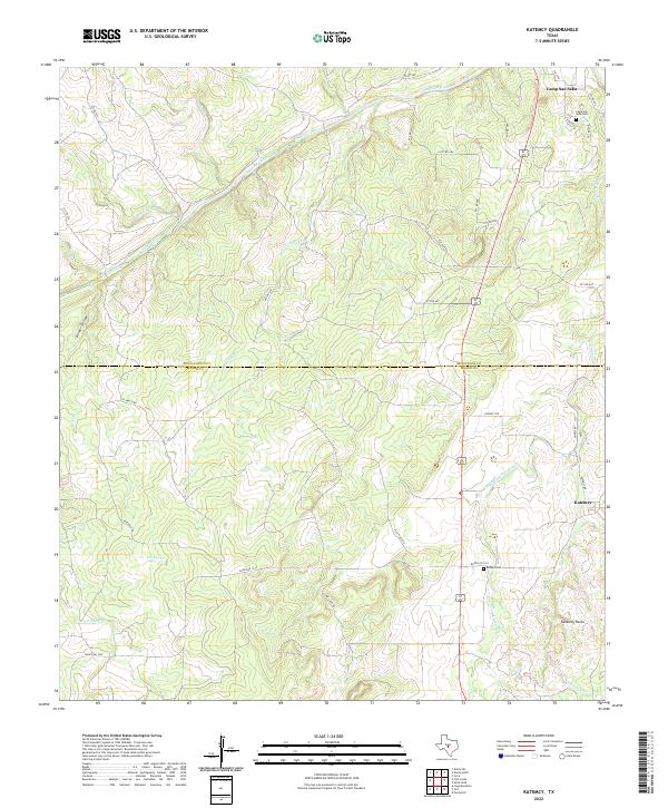
1970 Katemcy
Mason County, TX
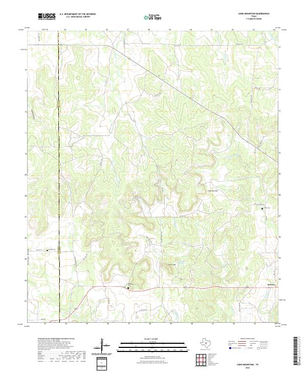
1970 Long Mountain
Mason County, TX
2010 Art
Mason County, TX
2010 Fly Gap
Mason County, TX
2010 Grit
Mason County, TX
2010 Katemcy
Mason County, TX
2010 Long Mountain
Mason County, TX
2010 Loyal Valley
Mason County, TX
2010 Monument Mountain
Mason County, TX
2010 Monument Mountain SE
Mason County, TX
2010 Panther Creek
Mason County, TX

2010 Purdy Hill
Mason County, TX
2010 Sheep Run Creek
Mason County, TX
2010 Spice Rock
Mason County, TX
2010 Turtle Creek
Mason County, TX
2012 Art
Mason County, TX
2012 Fly Gap
Mason County, TX
2012 Grit
Mason County, TX
2012 Katemcy
Mason County, TX
2012 Long Mountain
Mason County, TX
2012 Loyal Valley
Mason County, TX
2012 Monument Mountain
Mason County, TX
2012 Monument Mountain SE
Mason County, TX
2012 Panther Creek
Mason County, TX
2012 Purdy Hill
Mason County, TX
2012 Sheep Run Creek
Mason County, TX
2012 Turtle Creek
Mason County, TX
2013 Spice Rock
Mason County, TX
2016 Art
Mason County, TX
2016 Fly Gap
Mason County, TX
2016 Grit
Mason County, TX
2016 Katemcy
Mason County, TX
2016 Long Mountain
Mason County, TX
2016 Loyal Valley
Mason County, TX
2016 Monument Mountain
Mason County, TX
2016 Monument Mountain SE
Mason County, TX
2016 Panther Creek
Mason County, TX
2016 Purdy Hill
Mason County, TX
2016 Sheep Run Creek
Mason County, TX
2016 Spice Rock
Mason County, TX
2016 Turtle Creek
Mason County, TX
2019 Art
Mason County, TX
2019 Fly Gap
Mason County, TX
2019 Grit
Mason County, TX
2019 Katemcy
Mason County, TX
2019 Long Mountain
Mason County, TX
2019 Loyal Valley
Mason County, TX
2019 Monument Mountain
Mason County, TX
2019 Monument Mountain SE
Mason County, TX
2019 Panther Creek
Mason County, TX
2019 Purdy Hill
Mason County, TX
2019 Sheep Run Creek
Mason County, TX
2019 Spice Rock
Mason County, TX
2019 Turtle Creek
Mason County, TX
2022 Art
Mason County, TX
2022 Fly Gap
Mason County, TX
2022 Grit
Mason County, TX
2022 Katemcy
Mason County, TX
2022 Long Mountain
Mason County, TX
2022 Monument Mountain
Mason County, TX
2022 Monument Mountain SE
Mason County, TX
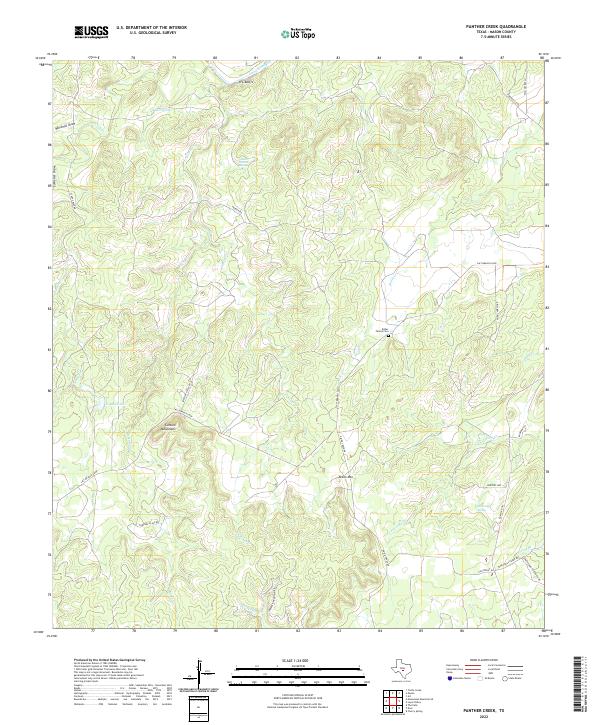
2022 Panther Creek
Mason County, TX
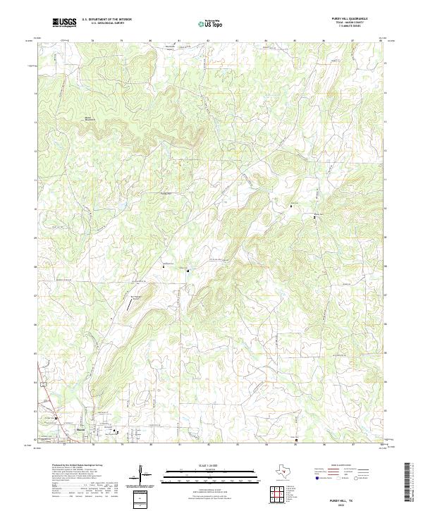
2022 Purdy Hill
Mason County, TX
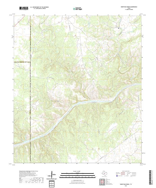
2022 Sheep Run Creek
Mason County, TX
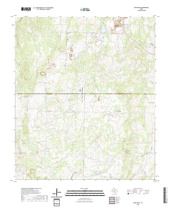
2022 Spice Rock
Mason County, TX
2022 Turtle Creek
Mason County, TX
2023 Loyal Valley
Mason County, TX