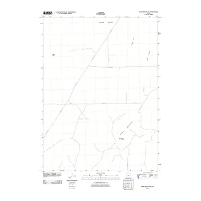
2011 Map of Monument Peak
USGS Topo · Published 2011About this map
Hansel Mountains define the southeastern quadrant of this northern Utah landscape, rising above the surrounding arid basins. The terrain transitions between the broad Curlew Valley to the north and the enclosed Sage Valley to the east. The topography is anchored by the prominent Monument Peak, a significant high point that overlooks a network of rural corridors.
Find a feature on this map
13 named features on this map. Tap any name to fly to it.
Don’t see what you’re looking for? This feature index may not catch every label — zoom into the map to look around manually.
Map Details
Editions of this 2011 Monument Peak Map
This is the sole edition of this map. No revisions or reprints were ever made.
Other maps of this area

1954 · Brigham City
USGS Topo · 1:250,000

1958 · Brigham City
USGS Topo · 1:250,000

1962 · Brigham City
USGS Topo · 1:250,000

1968 · Lake Ridge
USGS Topo · 1:24,000

1968 · Monument Point
USGS Topo · 1:24,000

1968 · Salt Wells
USGS Topo · 1:24,000

1968 · Monument Peak NW
USGS Topo · 1:24,000

1968 · Monument Peak SW
USGS Topo · 1:24,000

1968 · Snowville
USGS Topo · 1:24,000

1968 · Monument Peak
USGS Topo · 1:24,000