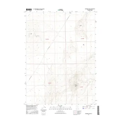
2017 Map of Monument Peak
USGS Topo · Published 2017About this map
Hansel Mountains rise as the dominant topographic structure in this portion of Box Elder County, culminating at the high point of Monument Peak. The landscape is defined by vast basin-and-range transitions, where high elevations give way to the broad expanses of Sage Valley and Curlew Valley. These valleys are marked by a rectilinear grid of public land surveys and sparse infrastructure, including Locomotive Springs Rd, which suggests the area's history of range management and rural access. Significant landmarks such as Cedar Hill and Johnson Hill punctuate the lower terrain, serving as essential reference points in this open country. The distribution of these features reflects the characteristic geography of northern Utah's arid basins during the early twenty-first century.
Find a feature on this map
12 named features on this map. Tap any name to fly to it.
Don’t see what you’re looking for? This feature index may not catch every label — zoom into the map to look around manually.
Map Details
Editions of this 2017 Monument Peak Map
This is the sole edition of this map. No revisions or reprints were ever made.
Other maps of this area

1954 · Brigham City
USGS Topo · 1:250,000

1958 · Brigham City
USGS Topo · 1:250,000

1962 · Brigham City
USGS Topo · 1:250,000

1968 · Lake Ridge
USGS Topo · 1:24,000

1968 · Monument Point
USGS Topo · 1:24,000

1968 · Salt Wells
USGS Topo · 1:24,000

1968 · Monument Peak NW
USGS Topo · 1:24,000

1968 · Monument Peak SW
USGS Topo · 1:24,000

1968 · Snowville
USGS Topo · 1:24,000

1968 · Monument Peak
USGS Topo · 1:24,000