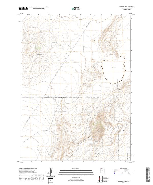
2023 Map of Monument Peak
USGS Topo · Published 2023About this map
Curlew Valley and Sage Valley dominate this northern Utah landscape, where the high desert terrain transitions into the steep elevations of the Hansel Mountains. The topography is defined by prominent rises including Monument Peak, Cedar Hill, and Johnson Hill, providing a clear view of the basin-and-range geography characteristic of this portion of Box Elder County. Human presence is sparse, represented primarily by the essential transport routes of Locomotive Springs Rd and Cedar Hill (East) Rd, which cut across the valleys to connect the isolated ridges. This survey illustrates the vast, open character of the region as it remains today, emphasizing the natural landforms over development.
Find a feature on this map
8 named features on this map. Tap any name to fly to it.
Don’t see what you’re looking for? This feature index may not catch every label — zoom into the map to look around manually.
Map Details
Editions of this 2023 Monument Peak Map
This is the sole edition of this map. No revisions or reprints were ever made.
Other maps of this area

1954 · Brigham City
USGS Topo · 1:250,000

1958 · Brigham City
USGS Topo · 1:250,000

1962 · Brigham City
USGS Topo · 1:250,000

1968 · Lake Ridge
USGS Topo · 1:24,000

1968 · Monument Point
USGS Topo · 1:24,000

1968 · Salt Wells
USGS Topo · 1:24,000

1968 · Monument Peak NW
USGS Topo · 1:24,000

1968 · Monument Peak SW
USGS Topo · 1:24,000

1968 · Snowville
USGS Topo · 1:24,000

1968 · Monument Peak
USGS Topo · 1:24,000