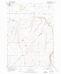
1951 Map of Moody
USGS Topo · Published 1975About this map
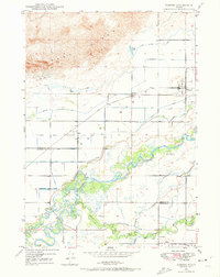
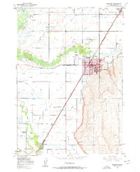
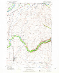
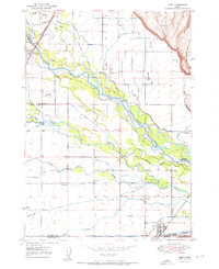
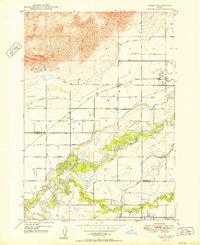
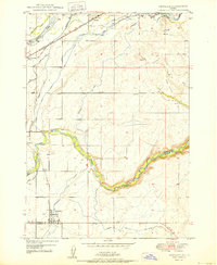
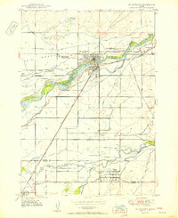
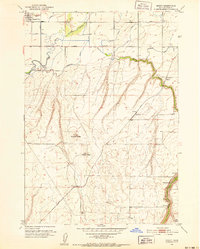
Sugar City and the agricultural lands of Idaho-Madison County are depicted during a period of transition in the early 1950s. The landscape is defined by the braided channels of the Teton River and the South Fork Teton River, which supported the irrigation systems and canals essential to local sugar beet farming and ranching. The Union Pacific railroad corridor serves as a primary axis for small rail-side settlements such as Parkinson, Walker, and Woods Crossing, reflecting the importance of rail transport for moving local commodities to market.
Find a feature on this map
17 named features on this map. Tap any name to fly to it.
Don’t see what you’re looking for? This feature index may not catch every label — zoom into the map to look around manually.
Map Details
Editions of this 1951 Moody Map
2 editions found
Other maps of this area
1948 · Parker
USGS Topo · 1:24,000
1949 · Rexburg
USGS Topo · 1:24,000
1949 · Newdale
USGS Topo · 1:24,000
1950 · Ririe
USGS Topo · 1:24,000
1950 · Parker
USGS Topo · 1:24,000

1950 · Rexburg
USGS Topo · 1:24,000
1950 · Newdale
USGS Topo · 1:24,000
1950 · St Anthony
USGS Topo · 1:24,000

1950 · Rigby
USGS Topo · 1:62,500
1951 · Moody
USGS Topo · 1:24,000