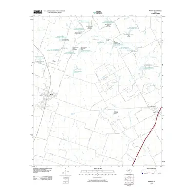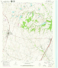
1965 Map of Moody
USGS Topo · Published 1979About this map
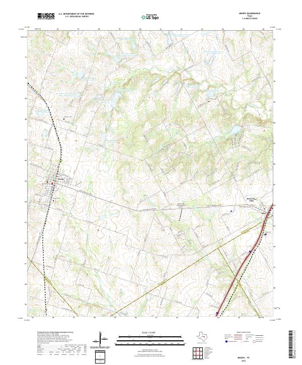
The city of Moody serves as a primary hub for this central Texas landscape during the mid-1960s, its street grid oriented alongside the Atchison Topeka and Santa Fe railroad. To the east, the settlement of Eddy lies along the Missouri-Kansas-Texas line, highlighting the region's reliance on rail transport for agricultural commerce. The terrain is defined by the headwaters and branches of the South Fork Cow Bayou, which meander through several spillway risers and small ponds. Significant for genealogical research are the rural gathering places and burial grounds that dot the countryside, including Bethany Ch, Liberty Hill Ch, Perry Cem, and Naler Cem. The map reveals the early development of modern infrastructure, such as the Radio Tower (KCEN-TV) and established thoroughfares like Old Blevins Road.
Find a feature on this map
25 named features on this map. Tap any name to fly to it.
Don’t see what you’re looking for? This feature index may not catch every label — zoom into the map to look around manually.
Map Details
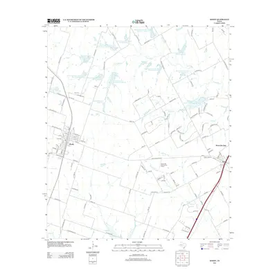
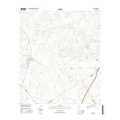
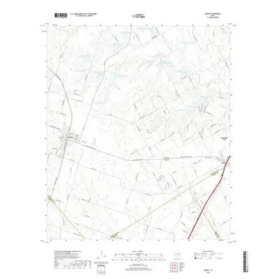
Editions of this 1965 Moody Map
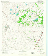
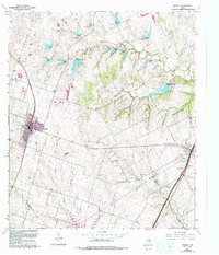
Historical Maps of Bruceville-Eddy Through Time
6 maps found