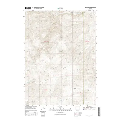
2015 Map of Moonshine Peak
USGS Topo · Published 2015About this map
Moonshine Peak and Government Peak dominate this high-elevation landscape along the border of Albany and Platte counties. The topography is defined by a complex network of drainages, where the Laramie River cuts through the northern and western sections while smaller tributaries like Bluegrass Creek and Slate Creek carve through deep canyons. This 2015 survey reveals a terrain primarily accessed via specialized corridors like Tunnel Rd and State Creek Rd, reflecting the remote and challenging nature of the Laramie Range. Historically significant named features such as Moonshine Gulch and Bradbury Gulch offer clues to the local naming traditions of early ranching or prospecting in this part of Wyoming. The map meticulously documents the transition from open river valleys to the steep relief of White Hound Canyon.
Find a feature on this map
23 named features on this map. Tap any name to fly to it.
Don’t see what you’re looking for? This feature index may not catch every label — zoom into the map to look around manually.
Map Details
Editions of this 2015 Moonshine Peak Map
This is the sole edition of this map. No revisions or reprints were ever made.
Other maps of this area

1953 · Natwick SW
USGS Topo · 1:24,000

1953 · Squaw Rock
USGS Topo · 1:24,000

1953 · Hightower SW
USGS Topo · 1:24,000

1954 · Torrington
USGS Topo · 1:250,000

1954 · Cheyenne
USGS Topo · 1:250,000

1955 · Poe Mountain
USGS Topo · 1:24,000

1955 · Moonshine Peak
USGS Topo · 1:24,000

1955 · Guide Rock
USGS Topo · 1:24,000

1955 · Bull Camp Peak
USGS Topo · 1:24,000

1958 · Cheyenne
USGS Topo · 1:250,000