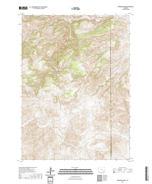
2021 Map of Moonshine Peak
USGS Topo · Published 2021About this map
Moonshine Peak and Government Peak define the high country of this Wyoming landscape, where the Laramie River cuts through the northern reaches of the quadrangle. The terrain is deeply incised by numerous drainages, including Moonshine Gulch and Bradbury Gulch, which feed into larger watercourses such as Bluegrass Cr and Slate Cr. The boundary between Albany Co and Platte Co runs through the eastern portion of the map, following the ridgelines and canyons.
Find a feature on this map
23 named features on this map. Tap any name to fly to it.
Don’t see what you’re looking for? This feature index may not catch every label — zoom into the map to look around manually.
Map Details
Editions of this 2021 Moonshine Peak Map
This is the sole edition of this map. No revisions or reprints were ever made.
Other maps of this area

1953 · Natwick SW
USGS Topo · 1:24,000

1953 · Squaw Rock
USGS Topo · 1:24,000

1953 · Hightower SW
USGS Topo · 1:24,000

1954 · Torrington
USGS Topo · 1:250,000

1954 · Cheyenne
USGS Topo · 1:250,000

1955 · Poe Mountain
USGS Topo · 1:24,000

1955 · Moonshine Peak
USGS Topo · 1:24,000

1955 · Guide Rock
USGS Topo · 1:24,000

1955 · Bull Camp Peak
USGS Topo · 1:24,000

1958 · Cheyenne
USGS Topo · 1:250,000