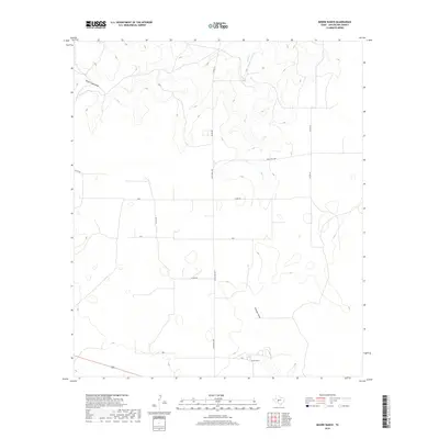
2019 Map of Moore Ranch
USGS Topo · Published 2019About this map
Moore Ranch serves as the primary named focal point in this portion of Schleicher County, situated within a landscape defined by seasonal watercourses and an extensive network of rural ranch roads. The terrain is marked by the winding paths of Dove Cr and Dove Creek Draw to the north, while Granger Draw cuts through the southern reaches. This 2019 survey documents a sparsely populated ranching district where transit relies on maintained local routes like Ranch Rd 1828 and various county roads including Co Rd 425 and Co Rd 427. The map illustrates the contemporary land divisions and accessibility of the Edwards Plateau region, providing a precise look at the drainage patterns and infrastructure supporting the local livestock industry.
Find a feature on this map
10 named features on this map. Tap any name to fly to it.
Don’t see what you’re looking for? This feature index may not catch every label — zoom into the map to look around manually.
Map Details
Editions of this 2019 Moore Ranch Map
This is the sole edition of this map. No revisions or reprints were ever made.
Other maps of this area

1895 · Sherwood
USGS Topo · 1:125,000

1954 · Sonora
USGS Topo · 1:250,000

1954 · San Angelo
USGS Topo · 1:250,000

1958 · Sonora
USGS Topo · 1:250,000

1958 · San Angelo
USGS Topo · 1:250,000

1964 · Eldorado NW
USGS Topo · 1:24,000

1964 · Eldorado SW
USGS Topo · 1:24,000

1964 · Oglesby Ranch
USGS Topo · 1:24,000

1964 · Coupe Ranch
USGS Topo · 1:24,000

1964 · Bailey Draw
USGS Topo · 1:24,000