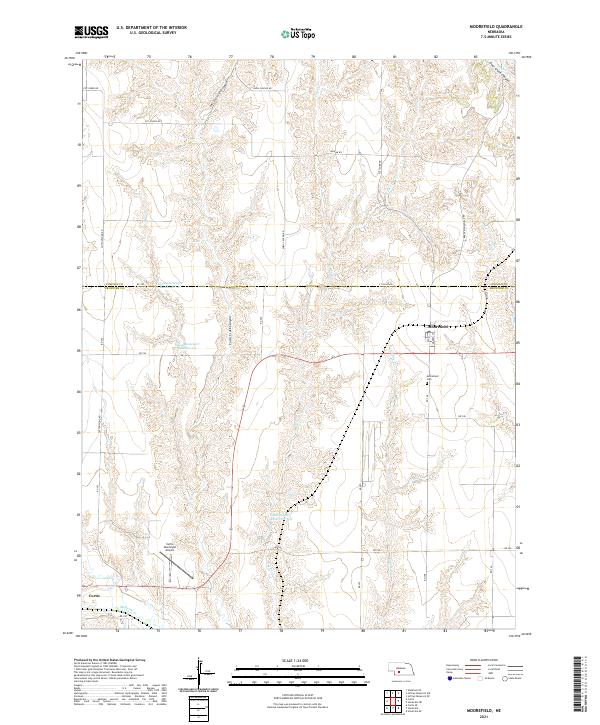
2021 Map of Moorefield
USGS Topo · Published 2021About this map
Deep-cut drainage systems and agricultural plateaus define this section of Frontier County along the Lincoln and Frontier line. The village of Moorefield sits on the eastern edge of the sheet, characterized by a tight grid of streets like Ash St and Market St, while the town of Curtis occupies the southwestern corner near the banks of Medicine Cr. The landscape between these settlements is dominated by dramatic relief, including the steep walls of Curtis Creek Canyon and Snell Canyon. Water management is central to this environment, evidenced by the Medicine Cr Reservoir 200, Elson Reservoir Number 1-S, and Elson Detention Reservoir 1-N. Transportation is facilitated by a network of rural routes such as Brady Moorefield Rd and Cottonwood Rd, connecting remote farms to the local hubs and the Curtis Municipal Airport.
Find a feature on this map
44 named features on this map. Tap any name to fly to it.
Don’t see what you’re looking for? This feature index may not catch every label — zoom into the map to look around manually.
Map Details
Editions of this 2021 Moorefield Map
This is the sole edition of this map. No revisions or reprints were ever made.
Other maps of this area

1902 · Gothenburg
USGS Topo · 1:125,000

1954 · McCook
USGS Topo · 1:250,000

1956 · Jeffrey Reservoir SW
USGS Topo · 1:24,000

1956 · Stockville NE
USGS Topo · 1:24,000

1956 · Moorefield
USGS Topo · 1:24,000

1956 · Curtis
USGS Topo · 1:24,000

1956 · Curtis SE
USGS Topo · 1:24,000

1956 · Stockville
USGS Topo · 1:24,000

1956 · Wellfleet SE
USGS Topo · 1:24,000

1956 · Stockville SE
USGS Topo · 1:24,000