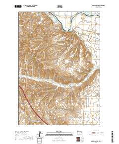
2020 Map of Moores Hollow
USGS Topo · Published 2020About this map
The Snake River marks the northern boundary of this high-desert landscape on the border of Oregon and Idaho. Significant land management features like the Owyhee Canal, Slide Ditch, and Upper Ditch illustrate the critical role of irrigation in the agricultural development of areas like West Weiser Flat and Lower Dead Ox Flat. These water systems contrast with natural springs such as Wickiupp Springs and King Spring that dot the interior hills.
Find a feature on this map
41 named features on this map. Tap any name to fly to it.
Don’t see what you’re looking for? This feature index may not catch every label — zoom into the map to look around manually.
Map Details
Editions of this 2020 Moores Hollow Map
This is the sole edition of this map. No revisions or reprints were ever made.
Other maps of this area

1897 · Weiser
USGS Topo · 1:125,000

1951 · Moores Hollow
USGS Topo · 1:24,000

1951 · Malheur Butte
USGS Topo · 1:24,000

1951 · Moores Hollow
USGS Topo · 1:62,500

1951 · Payette
USGS Topo · 1:24,000

1951 · Weiser South
USGS Topo · 1:24,000

1952 · Olds Ferry
USGS Topo · 1:24,000

1952 · Olds Ferry
USGS Topo · 1:62,500

1952 · Olds Ferry SE
USGS Topo · 1:24,000

1953 · Mann Creek
USGS Topo · 1:62,500