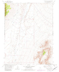
1967 Map of Moores Station SW
USGS Topo · Published 1982About this map
Hot Creek Valley dominates this high-desert landscape in Nye County, showing a remote region under development by the Atomic Energy Commission during the late 1960s. The map documents an area defined by utilitarian infrastructure, from the Landing Field situated on the basin floor to numerous Drill Holes and a linear Pipeline and Aqueduct system. To the east, the steep escarpment of Halligan Mesa rises sharply from the valley floor, providing a stark topographical contrast to the drainage of Moores Station Wash. Human presence is sparse and functional, centered on water management points like Sixmile Well and scattered Water Tanks. This 1967 survey, later revised in the early 1980s, captures a transition where traditional range land met modern industrial and scientific exploration in the Great Basin.
Find a feature on this map
9 named features on this map. Tap any name to fly to it.
Don’t see what you’re looking for? This feature index may not catch every label — zoom into the map to look around manually.
Map Details
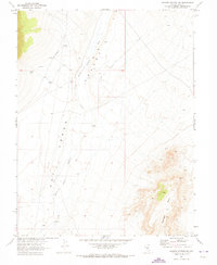
Editions of this 1967 Moores Station SW Map
2 editions found
Other maps of this area

1956 · Tonopah
USGS Topo · 1:250,000

1959 · Tonopah
USGS Topo · 1:250,000

1962 · Tonopah
USGS Topo · 1:250,000

1967 · Lunar Crater
USGS Topo · 1:62,500

1967 · Moores Station
USGS Topo · 1:62,500

1967 · Blue Jay Spring
USGS Topo · 1:24,000

1967 · Moores Station SE
USGS Topo · 1:24,000

1967 · Palisade Mesa
USGS Topo · 1:24,000

1967 · Moores Station
USGS Topo · 1:24,000

1967 · Lunar Crater
USGS Topo · 1:24,000