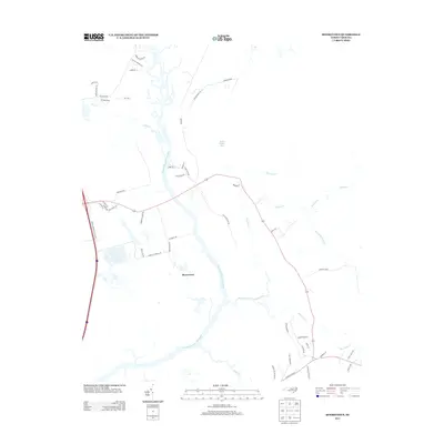
2013 Map of Mooretown
USGS Topo · Published 2013About this map
The Northeast Cape Fear River dominates this Pender County landscape, its meandering channel defining the wetlands and lowlands of the region. Near the small settlement of Mooretown, the river is fed by a network of drainage systems including Harrisons Cr, Merricks Cr, and Pike Cr. The map illustrates a coastal plain geography characterized by significant marshy features like Trumpeter Swamp and the large expanse of Holly Shelter Bay to the north.
Find a feature on this map
50 named features on this map. Tap any name to fly to it.
Don’t see what you’re looking for? This feature index may not catch every label — zoom into the map to look around manually.
Map Details
Editions of this 2013 Mooretown Map
This is the sole edition of this map. No revisions or reprints were ever made.
Other maps of this area

1942 · Topsail
USGS Topo · 1:62,500

1942 · Burgaw
USGS Topo · 1:62,500

1947 · Rocky Point
USGS Topo · 1:62,500

1948 · Maple Hill
USGS Topo · 1:62,500

1948 · Topsail
USGS Topo · 1:62,500

1953 · Beaufort
USGS Topo · 1:250,000

1954 · Beaufort
USGS Topo · 1:250,000

1970 · Hampstead
USGS Topo · 1:24,000

1970 · Topsail
USGS Topo · 1:24,000

1970 · Scotts Hill
USGS Topo · 1:24,000