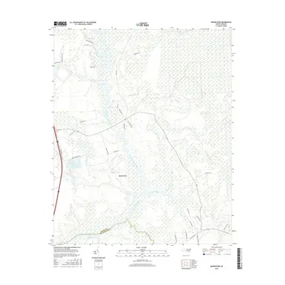
2016 Map of Mooretown
USGS Topo · Published 2016About this map
The Northeast Cape Fear River dominates this corner of the Carolina coastal plain, winding through a complex network of wetlands and tributaries. Along its western banks, the settlement of Mooretown sits amidst a grid of rural roads including Moore Town Rd and Thankful Rd. The geography is defined by low-lying drainages like Trumpeter Swamp and Harrisons Creek, which feed into the primary river system as it flows toward the Pender Co and New Hanover Co line. Genealogists may find interest in the Ashe Cem located near the headwaters of Pike Creek, reflecting the area's long-established family ties. The map illustrates a landscape where modern residential developments, seen in labels like Navillus Blvd, interface with old-growth riverine environments such as Catskin Ck and Merrick Ck.
Find a feature on this map
35 named features on this map. Tap any name to fly to it.
Don’t see what you’re looking for? This feature index may not catch every label — zoom into the map to look around manually.
Map Details
Editions of this 2016 Mooretown Map
This is the sole edition of this map. No revisions or reprints were ever made.
Other maps of this area

1942 · Topsail
USGS Topo · 1:62,500

1942 · Burgaw
USGS Topo · 1:62,500

1947 · Rocky Point
USGS Topo · 1:62,500

1948 · Maple Hill
USGS Topo · 1:62,500

1948 · Topsail
USGS Topo · 1:62,500

1953 · Beaufort
USGS Topo · 1:250,000

1954 · Beaufort
USGS Topo · 1:250,000

1970 · Hampstead
USGS Topo · 1:24,000

1970 · Topsail
USGS Topo · 1:24,000

1970 · Scotts Hill
USGS Topo · 1:24,000