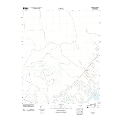
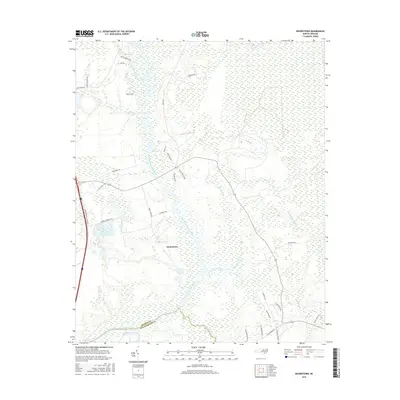
1980 Map of Mooretown
USGS Topo · Published 1985About this map
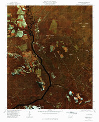
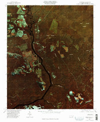
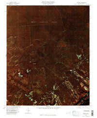
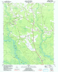
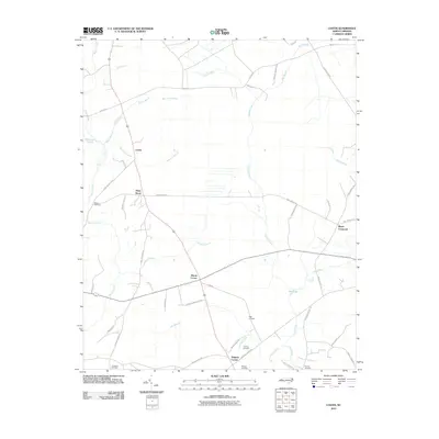
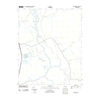
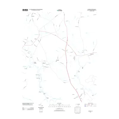
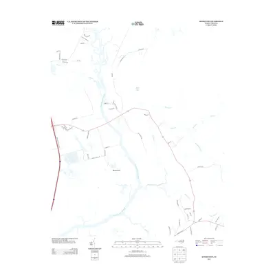
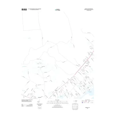
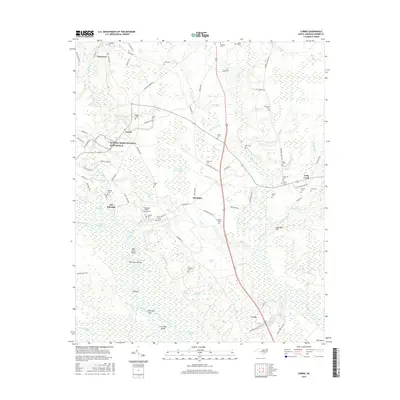
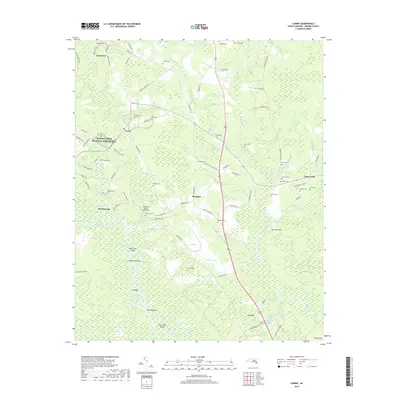
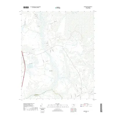
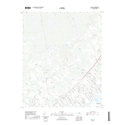
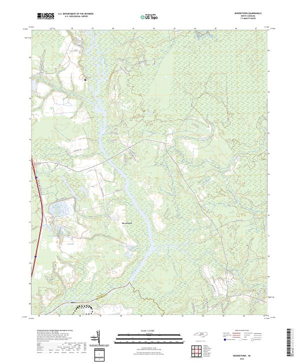
Mooretown sits as a primary point of reference in this coastal North Carolina landscape, where the Northeast Cape Fear River carves a dark, winding path through a complex network of wetlands. This 1980 color infrared orthophotoquad reveals a terrain defined by the contrast between managed agricultural clearings and the expansive, natural saturation of the Holly Shelter Bay and Holly Shelter Swamp. The drainage patterns are clearly visible, with numerous named tributaries such as Pike Creek, Merricks Creek, and Harrisons Creek feeding into the main river system.
Find a feature on this map
12 named features on this map. Tap any name to fly to it.
Don’t see what you’re looking for? This feature index may not catch every label — zoom into the map to look around manually.
Map Details
Editions of this 1980 Mooretown Map
2 editions found
Historical Maps of Mooretown Through Time
82 maps found

1942 Topsail
Pender County, NC

1948 Topsail
Pender County, NC
1954 Acme
Pender County, NC

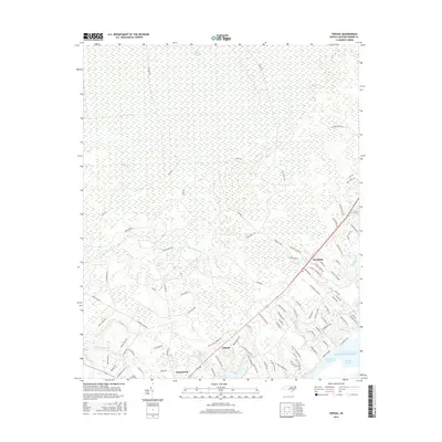
1970 Mooretown
Pender County, NC

1970 Topsail
Pender County, NC
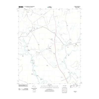
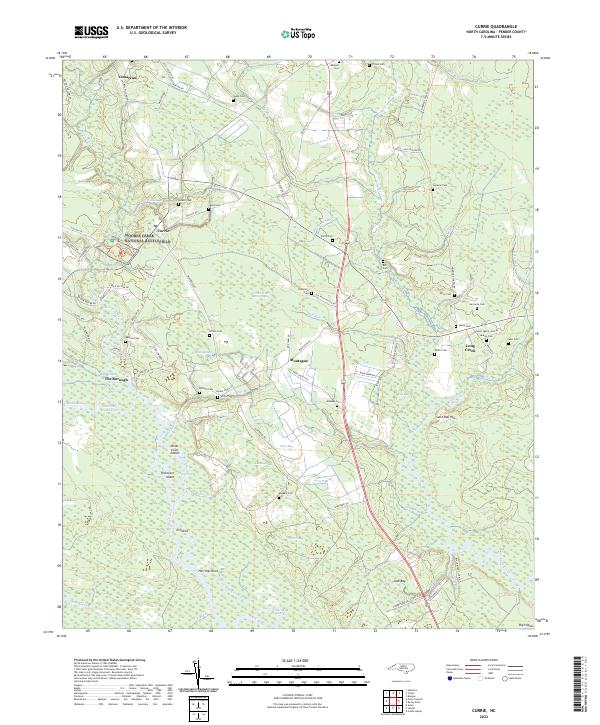
1980 Currie
Pender County, NC
1980 Mooretown
Pender County, NC

1980 Point Caswell
Pender County, NC
1980 Topsail
Pender County, NC

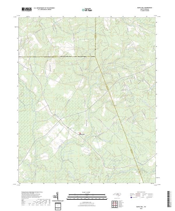
1981 Maple Hill
Pender County, NC
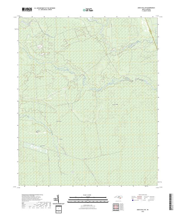
1981 Maple Hill SW
Pender County, NC
1981 Pin Hook
Pender County, NC
1981 Stag Park
Pender County, NC

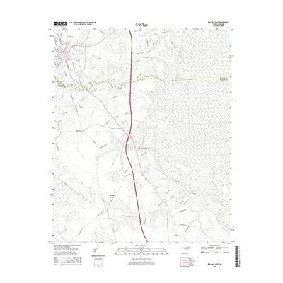
1981 Wallace East
Pender County, NC
1983 Currie
Pender County, NC

1983 Point Caswell
Pender County, NC
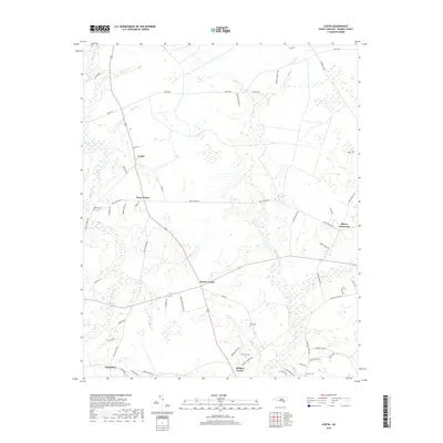
1984 Costin
Pender County, NC

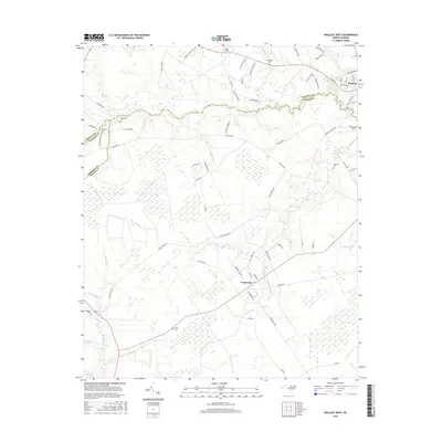
1984 Wallace West
Pender County, NC
1997 Mooretown
Pender County, NC

1997 Point Caswell
Pender County, NC
1997 Topsail
Pender County, NC

1997 Wallace West
Pender County, NC
2010 Costin
Pender County, NC
2010 Currie
Pender County, NC
2010 Maple Hill
Pender County, NC
2010 Maple Hill SW
Pender County, NC
2010 Mooretown
Pender County, NC
2010 Pin Hook
Pender County, NC
2010 Point Caswell
Pender County, NC
2010 Stag Park
Pender County, NC
2010 Topsail
Pender County, NC
2010 Wallace East
Pender County, NC

2010 Wallace West
Pender County, NC
2011 Hampstead OE E
Pender County, NC
2013 Costin
Pender County, NC
2013 Currie
Pender County, NC
2013 Hampstead OE E
Pender County, NC
2013 Maple Hill
Pender County, NC
2013 Maple Hill SW
Pender County, NC
2013 Mooretown
Pender County, NC
2013 Pin Hook
Pender County, NC
2013 Point Caswell
Pender County, NC
2013 Stag Park
Pender County, NC
2013 Topsail
Pender County, NC
2013 Wallace East
Pender County, NC
2013 Wallace West
Pender County, NC
2016 Costin
Pender County, NC
2016 Currie
Pender County, NC
2016 Hampstead OE E
Pender County, NC
2016 Maple Hill
Pender County, NC
2016 Maple Hill SW
Pender County, NC
2016 Mooretown
Pender County, NC
2016 Pin Hook
Pender County, NC
2016 Point Caswell
Pender County, NC
2016 Stag Park
Pender County, NC
2016 Topsail
Pender County, NC
2016 Wallace East
Pender County, NC
2016 Wallace West
Pender County, NC
2019 Costin
Pender County, NC
2019 Currie
Pender County, NC
2019 Hampstead OE E
Pender County, NC
2019 Maple Hill
Pender County, NC
2019 Maple Hill SW
Pender County, NC
2019 Mooretown
Pender County, NC
2019 Pin Hook
Pender County, NC
2019 Point Caswell
Pender County, NC
2019 Stag Park
Pender County, NC
2019 Topsail
Pender County, NC
2019 Wallace East
Pender County, NC
2019 Wallace West
Pender County, NC
2022 Costin
Pender County, NC
2022 Currie
Pender County, NC
2022 Hampstead OE E
Pender County, NC
2022 Maple Hill
Pender County, NC
2022 Maple Hill SW
Pender County, NC
2022 Mooretown
Pender County, NC
2022 Pin Hook
Pender County, NC

2022 Point Caswell
Pender County, NC
2022 Stag Park
Pender County, NC
2022 Topsail
Pender County, NC
2022 Wallace East
Pender County, NC

2022 Wallace West
Pender County, NC