2022 Map of Moorhead
USGS Topo · Published 2022About this map
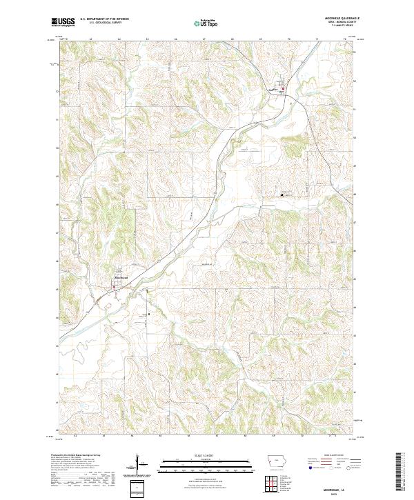
Moorhead and Soldier serve as the primary hubs of this Monona County landscape, which is defined by the winding course of the Soldier River. The terrain is deeply incised by a dense network of watercourses, including Norway Cr, Elk Cr, and Jordan Cr, creating a complex series of ridges and valleys that dictate the local road grid. Researchers will find significant genealogical interest in the two primary burial grounds mapped here: Soldier Cem located northeast of its namesake village, and Spring Valley Cem situated south of Moorhead. The settlement pattern remains largely agricultural, with numerous numbered rural roads such as 250th St and 330th St providing access to the interior sections of t83n r43w and surrounding townships. This 2022 survey captures the enduring character of Iowa's Loess Hills region, where the intersection of Co Hwy E54 and the river valley remains a focal point for the community.
Find a feature on this map
28 named features on this map. Tap any name to fly to it.
Don’t see what you’re looking for? This feature index may not catch every label — zoom into the map to look around manually.
Map Details
Editions of this 2022 Moorhead Map
This is the sole edition of this map. No revisions or reprints were ever made.